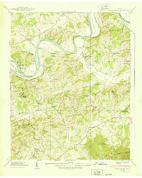
1939 Map of Shady Grove
USGS Topo · Published 1939About this map
The French Broad River defines the northern reaches of this East Tennessee landscape, winding past a series of named islands including Fox Island and Ernest Fox Island. This 1939 survey captures the border between Jefferson and Sevier Counties just as the Tennessee Valley Authority was reshaping the region’s topography. The area is characterized by a high density of small rural institutions and family landmarks, such as Lee Academy and the Island Ford Mill. A significant concentration of community sites appears around Fair Garden, where the Fair Garden Cem and Fair Garden Sch serve the local population. Further south, the terrain rises toward English Mountain, with the curious natural feature known as The Sink located near the southern map edge. The map provides a detailed look at pre-war settlement patterns, from the clustered homes at Shady Grove to the numerous hollows like Gunwale Hollow and Happy Hollow that trace the smaller tributaries of Flat Creek.
Find a feature on this map
87 named features on this map. Tap any name to fly to it.
Don’t see what you’re looking for? This feature index may not catch every label — zoom into the map to look around manually.
Map Details
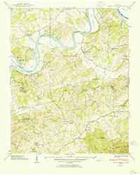
Editions of this 1939 Shady Grove Map
2 editions found
Other maps of this area

1883 · Morristown
USGS Topo · 1:125,000

1886 · Knoxville
USGS Topo · 1:125,000

1892 · Knoxville
USGS Topo · 1:125,000

1893 · Mt Guyot
USGS Topo · 1:125,000

1893 · Morristown
USGS Topo · 1:125,000

1894 · Knoxville
USGS Topo · 1:125,000

1895 · Morristown
USGS Topo · 1:125,000

1895 · Knoxville
USGS Topo · 1:125,000

1897 · Maynardville
USGS Topo · 1:125,000

1900 · Maynardville
USGS Topo · 1:125,000