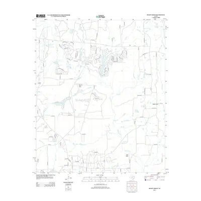
2012 Map of Shady Grove
USGS Topo · Published 2012About this map
Holly Lake Ranch serves as a primary residential and recreational hub in this portion of Wood County, characterized by a dense network of private drives and several water bodies including Lake Greenbriar and Holly Creek. The landscape transitions from these organized developments to the industrial footprint of the Pine Mills Oil Field in the west and traditional ranching at Clonts Ranch. This 2012 survey illustrates the modern residential expansion around historic natural features, where older names like Deep Eddy and the Carding Factory Branch hint at the area's agricultural and early industrial roots.
Find a feature on this map
111 named features on this map. Tap any name to fly to it.
Don’t see what you’re looking for? This feature index may not catch every label — zoom into the map to look around manually.
Map Details
Editions of this 2012 Shady Grove Map
This is the sole edition of this map. No revisions or reprints were ever made.
Other maps of this area

1956 · Tyler
USGS Topo · 1:250,000

1960 · Shady Grove
USGS Topo · 1:24,000

1960 · Hawkins
USGS Topo · 1:24,000

1960 · Big Sandy
USGS Topo · 1:24,000

1960 · Pritchett
USGS Topo · 1:24,000

1960 · Hainesville
USGS Topo · 1:24,000

1960 · Cartwright
USGS Topo · 1:24,000

1960 · Thomas
USGS Topo · 1:24,000

1960 · Rhonesboro
USGS Topo · 1:24,000

1960 · Crow
USGS Topo · 1:24,000