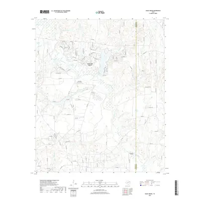
2019 Map of Shady Grove
USGS Topo · Published 2019About this map
Holly Lake Ranch serves as the primary residential anchor in this Wood County landscape, where an intricate network of leisure-oriented roads like Alamosa Ln and Cimarron Trl weave through a terrain dominated by local hydrology. The area is defined by its water, with Big Sandy Cr flowing through the center, feeding into or passing by Boggy Lake, Glaspy Lake, and Moore Lake. This modern survey illustrates how private aviation and recreation have shaped the region, evidenced by the Holly Lake Ranch Airport and the nearby Hawk Ranch Airport.
Find a feature on this map
113 named features on this map. Tap any name to fly to it.
Don’t see what you’re looking for? This feature index may not catch every label — zoom into the map to look around manually.
Map Details
Editions of this 2019 Shady Grove Map
This is the sole edition of this map. No revisions or reprints were ever made.
Other maps of this area

1956 · Tyler
USGS Topo · 1:250,000

1960 · Shady Grove
USGS Topo · 1:24,000

1960 · Hawkins
USGS Topo · 1:24,000

1960 · Big Sandy
USGS Topo · 1:24,000

1960 · Pritchett
USGS Topo · 1:24,000

1960 · Hainesville
USGS Topo · 1:24,000

1960 · Cartwright
USGS Topo · 1:24,000

1960 · Thomas
USGS Topo · 1:24,000

1960 · Rhonesboro
USGS Topo · 1:24,000

1960 · Crow
USGS Topo · 1:24,000