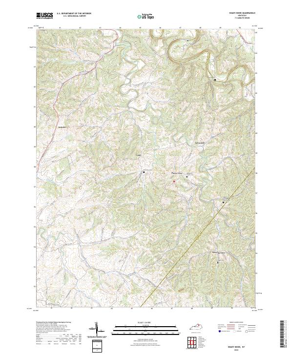
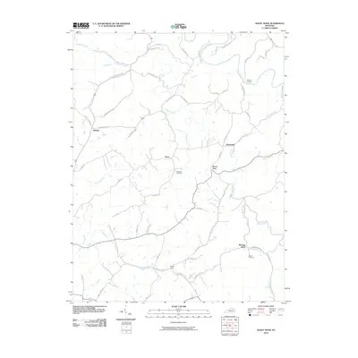
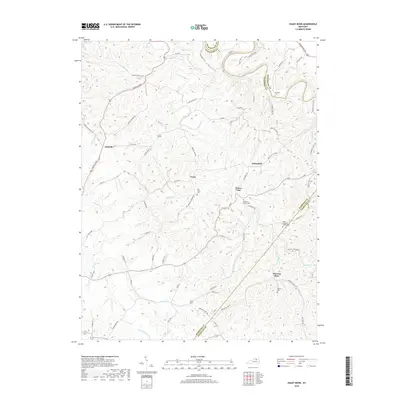
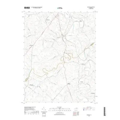
2022 Map of Shady Nook
USGS Topo · Published 2022About this map
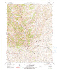
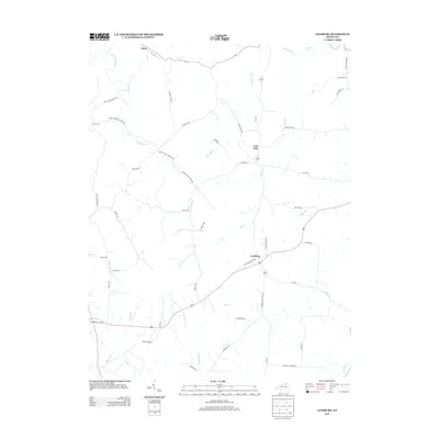
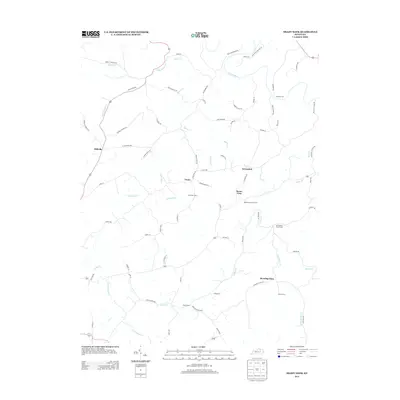
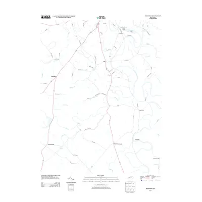
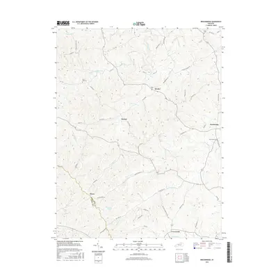
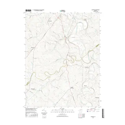
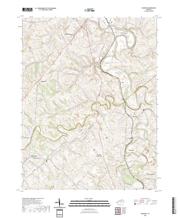
The Licking River winds through the northern portion of this landscape, marking the border between Harrison and Robertson counties. The terrain is defined by a dense network of ridges and hollows, where small settlements like Oddville and Morning Glory developed along high-ground routes like the Oddville Pike and Morning Glory Rd. This map reveals a community structured around its spiritual and ancestral sites, featuring numerous family and church burial grounds such as the Rankin Cem and the Old Salem Cem. The area’s geography is heavily influenced by the drainage of Indian Cr and Brushy Fork, which dictated the placement of early homesteads and secondary roads. Local history researchers can trace the connectivity between established houses of worship, including the Republican Church and Mount Pleasant Church, and the winding pikes that linked these rural Kentucky hamlets.
Find a feature on this map
80 named features on this map. Tap any name to fly to it.
Don’t see what you’re looking for? This feature index may not catch every label — zoom into the map to look around manually.
Map Details
Editions of this 2022 Shady Nook Map
This is the sole edition of this map. No revisions or reprints were ever made.
Historical Maps of Oddville Through Time
30 maps found
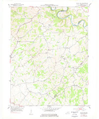
1952 Shady Nook
Harrison County, KY
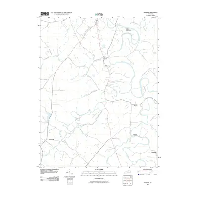
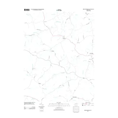
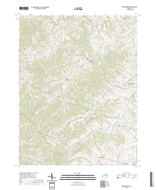
1953 Breckinridge
Harrison County, KY
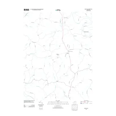
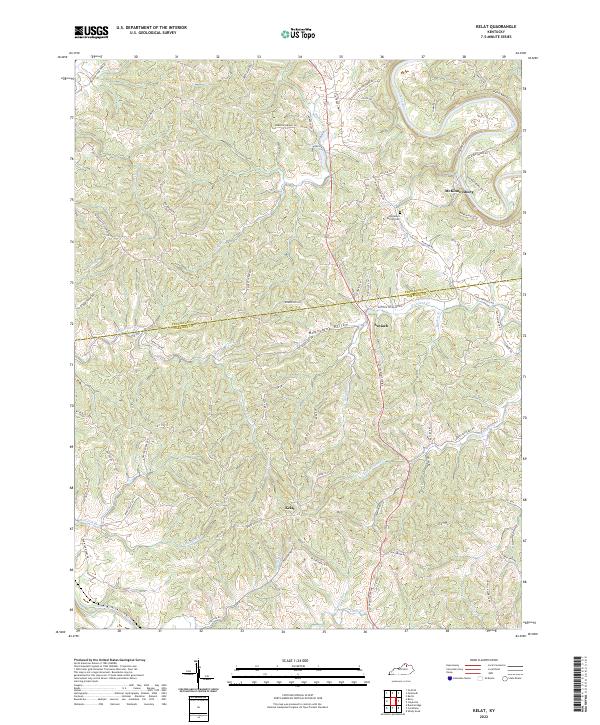
1953 Kelat
Harrison County, KY
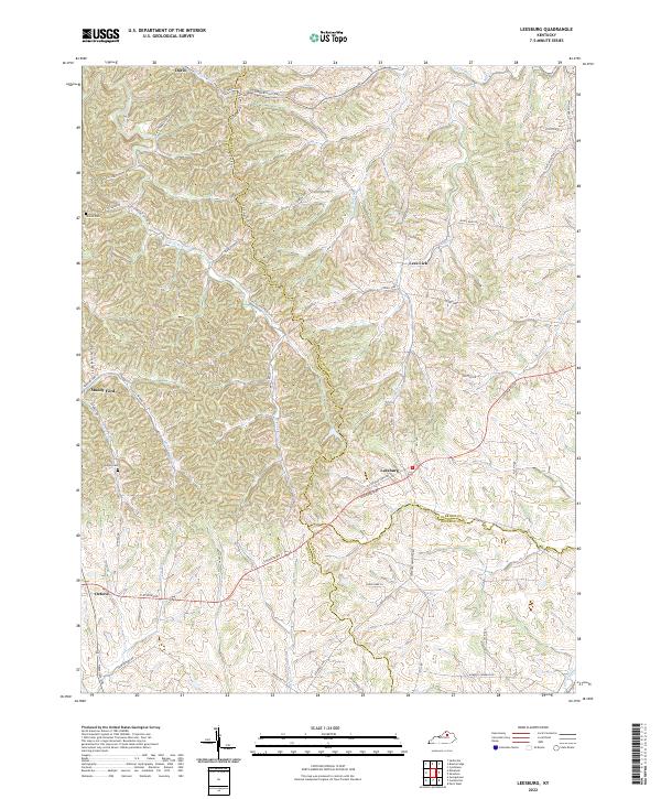
1954 Leesburg
Harrison County, KY
1954 Shawhan
Harrison County, KY
2010 Breckinridge
Harrison County, KY

2010 Kelat
Harrison County, KY
2010 Leesburg
Harrison County, KY
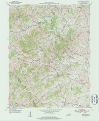
2010 Shady Nook
Harrison County, KY
2010 Shawhan
Harrison County, KY
2013 Breckinridge
Harrison County, KY
2013 Kelat
Harrison County, KY
2013 Leesburg
Harrison County, KY
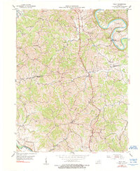
2013 Shady Nook
Harrison County, KY
2013 Shawhan
Harrison County, KY
2016 Breckinridge
Harrison County, KY
2016 Kelat
Harrison County, KY
2016 Leesburg
Harrison County, KY
2016 Shady Nook
Harrison County, KY
2016 Shawhan
Harrison County, KY
2019 Breckinridge
Harrison County, KY
2019 Kelat
Harrison County, KY
2019 Leesburg
Harrison County, KY
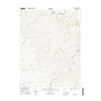
2019 Shady Nook
Harrison County, KY
2019 Shawhan
Harrison County, KY
2022 Breckinridge
Harrison County, KY
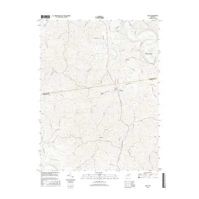
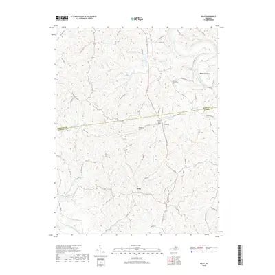
2022 Kelat
Harrison County, KY
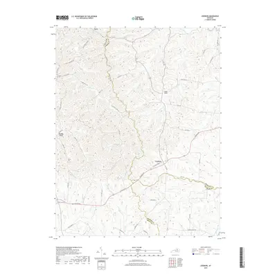
2022 Leesburg
Harrison County, KY
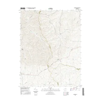
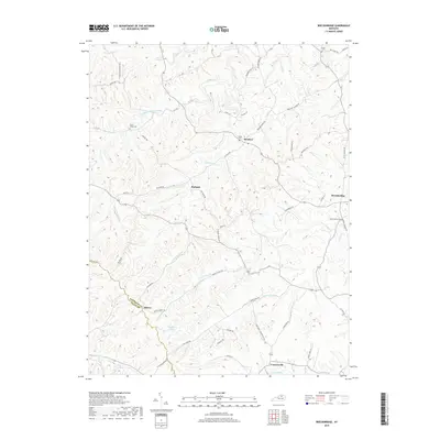
2022 Shady Nook
Harrison County, KY
2022 Shawhan
Harrison County, KY