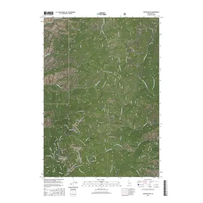
2017 Map of Shafer Butte
USGS Topo · Published 2017About this map
Shafer Butte and the surrounding high-altitude terrain of the Boise National Forest dominate this mountain landscape north of the state capital. The area is defined by the extensive recreation infrastructure of Bogus Basin, featuring a complex network of named ski runs and trails such as The Face, Tempest, and Shindig. This 2017 survey captures the modern configuration of the winter sports area, including the Lodge and the specialized Mores Mountain Mtn Bike trail.
Find a feature on this map
76 named features on this map. Tap any name to fly to it.
Don’t see what you’re looking for? This feature index may not catch every label — zoom into the map to look around manually.
Map Details
Editions of this 2017 Shafer Butte Map
This is the sole edition of this map. No revisions or reprints were ever made.
Other maps of this area

1892 · Boise
USGS Topo · 1:125,000

1894 · Idaho Basin
USGS Topo · 1:125,000

1897 · Boise
USGS Topo · 1:125,000

1949 · Robie Creek
USGS Topo · 1:24,000

1954 · Boise North
USGS Topo · 1:24,000

1954 · Boise
USGS Topo · 1:62,500

1955 · Hailey
USGS Topo · 1:250,000

1955 · Boise
USGS Topo · 1:250,000

1957 · Cartwright Canyon
USGS Topo · 1:24,000

1957 · Horseshoe Bend
USGS Topo · 1:24,000