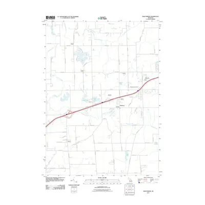
2011 Map of Shaftsburg
USGS Topo · Published 2011About this map
Shaftsburg serves as the central hub of this northern Michigan landscape, characterized by a transition from agricultural fields to water-rich recreational areas. The community is anchored by the Shaftsburg Post Office, while the surrounding countryside is dotted with a significant number of family and community burial grounds, including Sprague Cemetery, Graham Cemetery, and Oak Plain Cemetery. These sites offer valuable touchpoints for genealogists tracing early families in the region.
Find a feature on this map
74 named features on this map. Tap any name to fly to it.
Don’t see what you’re looking for? This feature index may not catch every label — zoom into the map to look around manually.
Map Details
Editions of this 2011 Shaftsburg Map
This is the sole edition of this map. No revisions or reprints were ever made.
Other maps of this area

1908 · Fowlerville
USGS Topo · 1:62,500

1909 · Mason
USGS Topo · 1:62,500

1910 · Fowlerville
USGS Topo · 1:62,500

1911 · Mason
USGS Topo · 1:62,500

1926 · Corunna
USGS Topo · 1:62,500

1928 · Laingsburg
USGS Topo · 1:62,500

1929 · Corunna
USGS Topo · 1:62,500

1944 · Laingsburg
USGS Topo · 1:62,500

1944 · Corunna
USGS Topo · 1:62,500

1958 · Grand Rapids
USGS Topo · 1:250,000