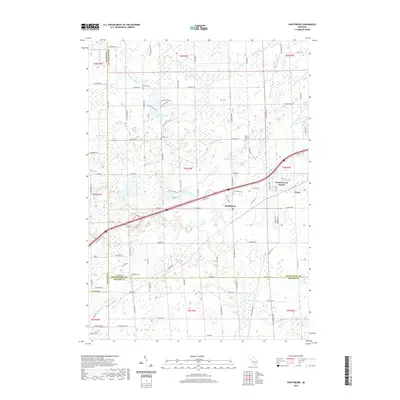
2019 Map of Shaftsburg
USGS Topo · Published 2019About this map
The Looking Glass River flows through the northern reaches of this territory, where the tri-county boundary of Clinton, Shiawassee, and Ingham Counties meets. This landscape is defined by its complex drainage network and rural clusters, centered around the settlement of Shaftsburg and the growing residential area of Forest Green Estates. The map documents a significant number of family and community burial grounds, including the Kay Family Cem and the Oak Plain Cem, which provide essential points of reference for local genealogical research.
Find a feature on this map
58 named features on this map. Tap any name to fly to it.
Don’t see what you’re looking for? This feature index may not catch every label — zoom into the map to look around manually.
Map Details
Editions of this 2019 Shaftsburg Map
This is the sole edition of this map. No revisions or reprints were ever made.
Other maps of this area

1908 · Fowlerville
USGS Topo · 1:62,500

1909 · Mason
USGS Topo · 1:62,500

1910 · Fowlerville
USGS Topo · 1:62,500

1911 · Mason
USGS Topo · 1:62,500

1926 · Corunna
USGS Topo · 1:62,500

1928 · Laingsburg
USGS Topo · 1:62,500

1929 · Corunna
USGS Topo · 1:62,500

1944 · Laingsburg
USGS Topo · 1:62,500

1944 · Corunna
USGS Topo · 1:62,500

1958 · Grand Rapids
USGS Topo · 1:250,000