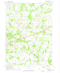
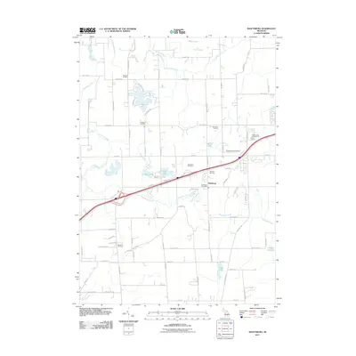
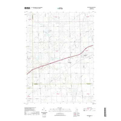
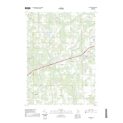
1972 Map of Shaftsburg
USGS Topo · Published 1974About this map
The Looking Glass River and Vermilion Creek define the drainage of this Shiawassee County landscape during the early 1970s. The settlement of Shaftsburg sits as a central hub, linked by the Grand Trunk Western railroad line which cuts diagonally across the township of Woodhull. This era is marked by a mix of established agricultural land and dedicated conservation, notably the Rose Lake State Wildlife Research Area in the west and numerous small kettle lakes like Wolf Lake, Moon Lake, and Hickory Lake.
Find a feature on this map
60 named features on this map. Tap any name to fly to it.
Don’t see what you’re looking for? This feature index may not catch every label — zoom into the map to look around manually.
Map Details
Editions of this 1972 Shaftsburg Map
This is the sole edition of this map. No revisions or reprints were ever made.
Historical Maps of Perry Through Time
6 maps found
Featured Locations
- Perry, MI
- Woodhull Township, MI
- Bath Charter Township, MI
- Meridian Charter Township, MI
- Shaftsburg, Woodhull Township