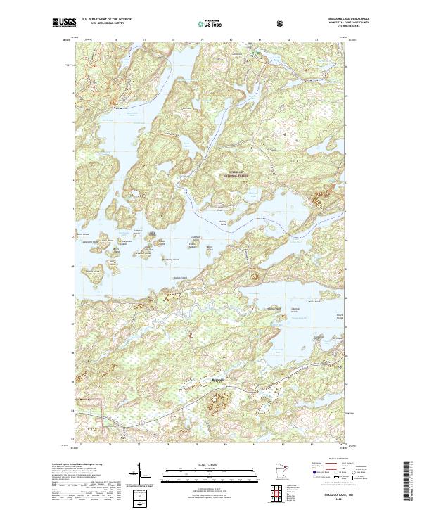
2022 Map of Shagawa Lake
USGS Topo · Published 2022About this map
Ely serves as the focal point of this northern Minnesota survey, situated along the southeastern shores of Shagawa Lake. The landscape is dominated by the intricate, island-studded waters of Burntside Lake, which includes numerous named landforms such as Honeymoon Island, Lost Girl Island, and Sumpter Island. The surrounding territory within the Superior National Forest is defined by a dense network of recreational trails and forest roads, including the Echo Trail and Slim Lake Loop. The presence of Burntside and the Burntside River illustrates the historical development of this lakeland region, while landmarks like Druid Pines and Old Baldy provide specific points of interest for navigating the timbered terrain. To the south, Minnesota Highway 169 and the Taconite road connect the isolated wilderness settlements to the broader Iron Range corridor.
Find a feature on this map
89 named features on this map. Tap any name to fly to it.
Don’t see what you’re looking for? This feature index may not catch every label — zoom into the map to look around manually.
Map Details
Editions of this 2022 Shagawa Lake Map
This is the sole edition of this map. No revisions or reprints were ever made.
Other maps of this area

1933 · Ely
USGS Topo · 1:62,500

1939 · Ely
USGS Topo · 1:62,500

1954 · Two Harbors
USGS Topo · 1:250,000

1954 · Hibbing
USGS Topo · 1:250,000

1954 · International Falls
USGS Topo · 1:250,000

1956 · Crab Lake
USGS Topo · 1:24,000

1956 · Eagles Nest
USGS Topo · 1:24,000

1957 · Two Harbors
USGS Topo · 1:250,000

1957 · Hibbing
USGS Topo · 1:250,000

1957 · International Falls
USGS Topo · 1:250,000