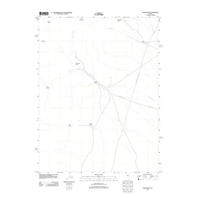
2012 Map of Shagnasty
USGS Topo · Published 2012About this map
Ferguson Creek and its seasonal drainage network define the geography of this remote Nevada quadrangle, where the land is primarily marked by high-desert ranching and rugged canyons. The drainage flows through the center of the sheet, connecting several small ranching operations that serve as the primary human landmarks in the area. These include the Ferguson Ranch and the Santa Fe Ranch, the latter situated near Gold Bar Rd in the northeastern corner of the map.
Find a feature on this map
16 named features on this map. Tap any name to fly to it.
Don’t see what you’re looking for? This feature index may not catch every label — zoom into the map to look around manually.
Map Details
Editions of this 2012 Shagnasty Map
This is the sole edition of this map. No revisions or reprints were ever made.
Other maps of this area

1926 · Roberts Mountains
USGS Topo · 1:250,000

1929 · Roberts Mountains
USGS Topo · 1:250,000

1949 · Roberts Creek Mtn
USGS Topo · 1:62,500

1951 · Roberts Creek Mtn
USGS Topo · 1:62,500

1955 · Millett
USGS Topo · 1:250,000

1956 · Bartine Ranch
USGS Topo · 1:62,500

1956 · Walti Hot Springs
USGS Topo · 1:62,500

1956 · Ackerman Canyon
USGS Topo · 1:62,500

1959 · Millett
USGS Topo · 1:250,000

1979 · Simpson Park Mtns
USGS Topo · 1:100,000