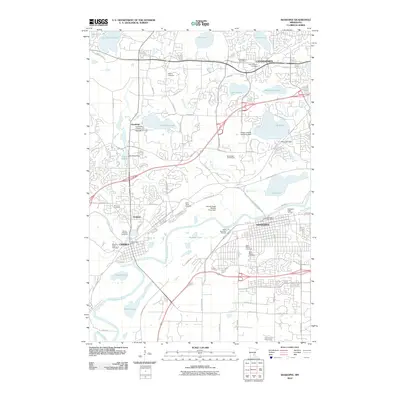
2010 Map of Shakopee
USGS Topo · Published 2010About this map
The Minnesota River corridor anchors this modern study of Carver and Hennepin Counties, where the growing suburban landscapes of Chaska, Chanhassen, and Shakopee intersect. A notable concentration of spiritual and genealogical sites is preserved throughout the quadrangle, including the Moravian Cemetery, Saint Hubert's Cemetery, and Guardian Angel Cemetery. Educational and recreational development is evident in the presence of the University of Saint Thomas and the Bluff Creek Golf Course. The map records a complex hydrological system of glacial lakes and wetlands, such as Rice Marsh Lake, Hazeltine Lake, and Lake Minnewashta, connected by Bluff Creek and Riley Creek. This 2010 survey documents the area just as rapid infrastructure expansion met established historical settlements like Jonathan.
Find a feature on this map
94 named features on this map. Tap any name to fly to it.
Don’t see what you’re looking for? This feature index may not catch every label — zoom into the map to look around manually.
Map Details
Editions of this 2010 Shakopee Map
This is the sole edition of this map. No revisions or reprints were ever made.
Other maps of this area

1896 · Minneapolis
USGS Topo · 1:62,500

1901 · Minneapolis
USGS Topo · 1:62,500

1905 · Minnetonka
USGS Topo · 1:62,500

1907 · Minnetonka
USGS Topo · 1:62,500

1953 · Saint Paul
USGS Topo · 1:250,000

1954 · Hopkins
USGS Topo · 1:24,000

1954 · Eden Prairie
USGS Topo · 1:24,000

1954 · Minneapolis
USGS Topo · 1:62,500

1957 · Prior Lake
USGS Topo · 1:62,500

1957 · New Prague
USGS Topo · 1:62,500