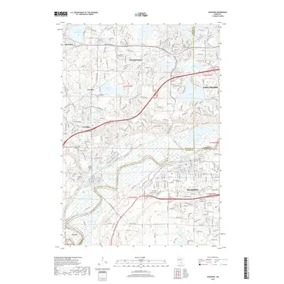
2019 Map of Shakopee
USGS Topo · Published 2019About this map
The Minnesota River meanders through this landscape, defining the lowlands between the growing communities of Shakopee and Chaska. This 2019 survey documents a highly developed suburban corridor where modern infrastructure like the Shakopee Byp and Chestnut Blvd intersects with long-standing local landmarks. Notable industrial artifacts are visible in the terrain, such as the Brickyard Clayhole and Firemens Clayhole, reflecting the area's history of resource extraction near the riverbanks.
Find a feature on this map
52 named features on this map. Tap any name to fly to it.
Don’t see what you’re looking for? This feature index may not catch every label — zoom into the map to look around manually.
Map Details
Editions of this 2019 Shakopee Map
This is the sole edition of this map. No revisions or reprints were ever made.
Other maps of this area

1896 · Minneapolis
USGS Topo · 1:62,500

1901 · Minneapolis
USGS Topo · 1:62,500

1905 · Minnetonka
USGS Topo · 1:62,500

1907 · Minnetonka
USGS Topo · 1:62,500

1953 · Saint Paul
USGS Topo · 1:250,000

1954 · Hopkins
USGS Topo · 1:24,000

1954 · Eden Prairie
USGS Topo · 1:24,000

1954 · Minneapolis
USGS Topo · 1:62,500

1957 · Prior Lake
USGS Topo · 1:62,500

1957 · New Prague
USGS Topo · 1:62,500