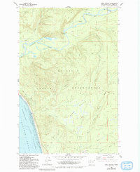
1982 Map of Shale Slough
USGS Topo · Published 1993About this map
The Quinault Indian Reservation occupies the center of this coastal landscape, where the Quinault River winds westward toward the Pacific Ocean. This 1980s field study captures a transitional timber and tribal landscape, characterized by numerous logging-era traces including the Mounts Railroad and an Old Railroad Grade cutting through the dense drainage basins. The intricate network of waterways, including Shale Slough, California Slough, and Duck Creek, underscores the wetland nature of the lower Quinault valley.
Find a feature on this map
25 named features on this map. Tap any name to fly to it.
Don’t see what you’re looking for? This feature index may not catch every label — zoom into the map to look around manually.
Map Details
Editions of this 1982 Shale Slough Map
2 editions found
Other maps of this area

1938 · Moclips
USGS Topo · 1:62,500

1941 · Moclips
USGS Topo · 1:62,500

1943 · Copalis Beach
USGS Topo · 1:250,000

1951 · Copalis Beach
USGS Topo · 1:250,000

1955 · Taholah
USGS Topo · 1:62,500

1955 · Macafee Hill
USGS Topo · 1:62,500

1955 · Carlisle
USGS Topo · 1:24,000
1955 · Moclips
USGS Topo · 1:24,000

1957 · Copalis Beach
USGS Topo · 1:250,000

1963 · Copalis Beach
USGS Topo · 1:250,000