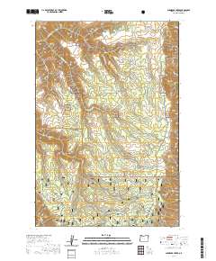
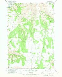
2020 Map of Shamrock Creek
USGS Topo · Published 2020About this map
Wallowa National Forest land dominates this high-elevation terrain, where water management for ranching or forestry is visible through the presence of Reed Reservoir and Wade Pond. This 2020 topographic study of the northeastern corner of Oregon illustrates a landscape defined by sharp elevation changes, moving from the depths of Courtney Cr and Buck Cr up to the prominent heights of Day Ridge and Kuhn Ridge.
Find a feature on this map
31 named features on this map. Tap any name to fly to it.
Don’t see what you’re looking for? This feature index may not catch every label — zoom into the map to look around manually.
Map Details
Editions of this 2020 Shamrock Creek Map
This is the sole edition of this map. No revisions or reprints were ever made.
Other maps of this area

1955 · Grangeville
USGS Topo · 1:250,000

1957 · Sled Springs
USGS Topo · 1:62,500

1957 · Elk Mountain
USGS Topo · 1:62,500

1959 · Grangeville
USGS Topo · 1:250,000

1967 · Wood Butte
USGS Topo · 1:24,000

1967 · Troy
USGS Topo · 1:24,000
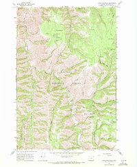
1967 · Table Mountain
USGS Topo · 1:24,000
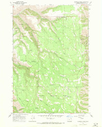
1967 · Shamrock Creek
USGS Topo · 1:24,000
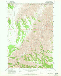
1967 · Paradise
USGS Topo · 1:24,000
1967 · Flora
USGS Topo · 1:24,000