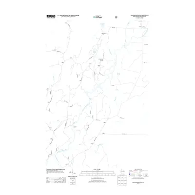
2013 Map of Shanagolden
USGS Topo · Published 2013About this map
The East Fork Chippewa River defines the drainage of this forested Ashland County landscape, winding south from the settlement of Shanagolden. This 2013 survey illustrates a region shaped by Northwoods water and timber history, where family-named routes like Nelson Rd and Mertig Rd intersect with a network of Forest Service roads. A complex of wetlands and small lakes, including Pelican Lake, Muskellunge Lake, and Gates Lake, characterizes the northern reaches of the quadrangle.
Find a feature on this map
39 named features on this map. Tap any name to fly to it.
Don’t see what you’re looking for? This feature index may not catch every label — zoom into the map to look around manually.
Map Details
Editions of this 2013 Shanagolden Map
This is the sole edition of this map. No revisions or reprints were ever made.
Other maps of this area

1941 · Kennedy
USGS Topo · 1:48,000

1942 · Glidden
USGS Topo · 1:48,000

1942 · Clam Lake
USGS Topo · 1:48,000

1944 · Draper
USGS Topo · 1:48,000

1945 · Kennedy
USGS Topo · 1:48,000

1945 · Clam Lake
USGS Topo · 1:48,000

1945 · Glidden
USGS Topo · 1:48,000

1947 · Draper
USGS Topo · 1:48,000

1953 · Ashland
USGS Topo · 1:250,000

1953 · Rice Lake
USGS Topo · 1:250,000