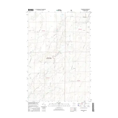
2015 Map of Shanagolden
USGS Topo · Published 2015About this map
Shanagolden sits at the edge of the Chequamegon National Forest, where the settlement and timber lands meet a complex network of glacial hydrology. This 2015 survey reveals an environment defined by the East Fork Chippewa River and its numerous tributaries, including Dryden Creek and Muskellunge Creek. The landscape is dotted with prominent water bodies such as Muskellunge Lake, Gates Lake, and Pelican Lake, many connected by seasonal runs like Rocky Run. A intricate grid of service roads and logging routes, including the Glidden Short Cut Rd and Stock Farm Rd, indicates the ongoing forestry operations and land management within the national forest. Local history and genealogy researchers can find specific named points of interest like Kenyon Springs and Bay Spring, while the presence of Railroad Rd suggests the historical path of the rails that once drove the local economy.
Find a feature on this map
48 named features on this map. Tap any name to fly to it.
Don’t see what you’re looking for? This feature index may not catch every label — zoom into the map to look around manually.
Map Details
Editions of this 2015 Shanagolden Map
This is the sole edition of this map. No revisions or reprints were ever made.
Other maps of this area

1941 · Kennedy
USGS Topo · 1:48,000

1942 · Glidden
USGS Topo · 1:48,000

1942 · Clam Lake
USGS Topo · 1:48,000

1944 · Draper
USGS Topo · 1:48,000

1945 · Kennedy
USGS Topo · 1:48,000

1945 · Clam Lake
USGS Topo · 1:48,000

1945 · Glidden
USGS Topo · 1:48,000

1947 · Draper
USGS Topo · 1:48,000

1953 · Ashland
USGS Topo · 1:250,000

1953 · Rice Lake
USGS Topo · 1:250,000