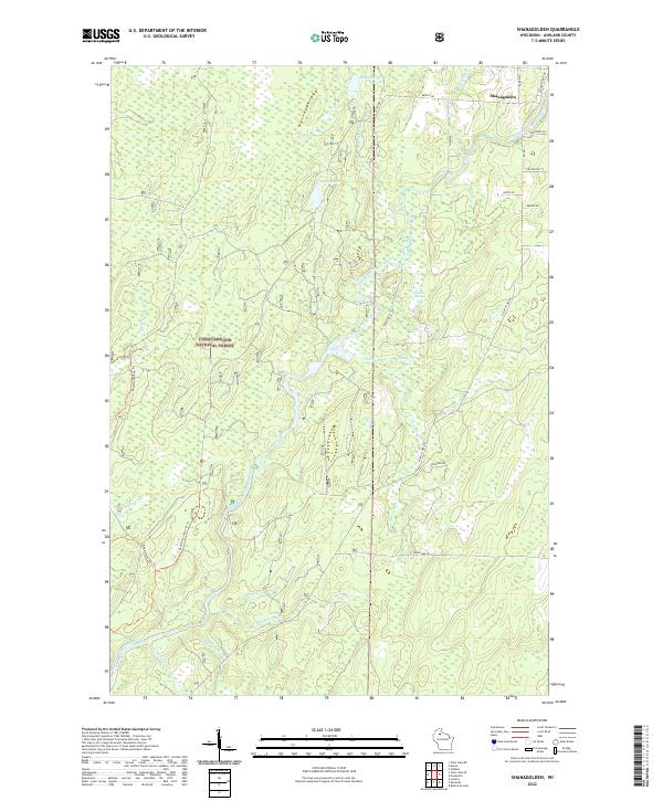
2022 Map of Shanagolden
USGS Topo · Published 2022About this map
Shanagolden sits in the northeastern corner of this Ashland County landscape, where the East Fork Chippewa River winds through the northern reaches of the Chequamegon National Forest. This 2022 survey documents a densely wooded region defined by its complex hydrology and forest management infrastructure. Names like Railroad Rd and Right Of Way Rd reflect the historical timber and rail corridors that once dominated this part of Wisconsin.
Find a feature on this map
34 named features on this map. Tap any name to fly to it.
Don’t see what you’re looking for? This feature index may not catch every label — zoom into the map to look around manually.
Map Details
Editions of this 2022 Shanagolden Map
This is the sole edition of this map. No revisions or reprints were ever made.
Other maps of this area

1941 · Kennedy
USGS Topo · 1:48,000

1942 · Glidden
USGS Topo · 1:48,000

1942 · Clam Lake
USGS Topo · 1:48,000

1944 · Draper
USGS Topo · 1:48,000

1945 · Kennedy
USGS Topo · 1:48,000

1945 · Clam Lake
USGS Topo · 1:48,000

1945 · Glidden
USGS Topo · 1:48,000

1947 · Draper
USGS Topo · 1:48,000

1953 · Ashland
USGS Topo · 1:250,000

1953 · Rice Lake
USGS Topo · 1:250,000