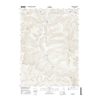
2016 Map of Shandaken
USGS Topo · Published 2016About this map
Shandaken and the surrounding hamlets of the Catskill Mountains are defined by the deep valleys of Esopus Creek and its many tributaries. This 2016 survey traces the high-elevation settlements and wilderness areas from Pine Hill in the northwest to Allaben in the northeast. The geography is dominated by notable peaks such as Panther Mtn and Slide Mtn, with local landmarks like Hanging Birds Nest and Giant Ledge providing orientation for those traversing the heights.
Find a feature on this map
62 named features on this map. Tap any name to fly to it.
Don’t see what you’re looking for? This feature index may not catch every label — zoom into the map to look around manually.
Map Details
Editions of this 2016 Shandaken Map
This is the sole edition of this map. No revisions or reprints were ever made.
Other maps of this area

1900 · Phoenicia
USGS Topo · 1:62,500

1901 · Margaretville
USGS Topo · 1:62,500

1903 · Phoenicia
USGS Topo · 1:62,500

1903 · Slide Mountain
USGS Topo · 1:62,500

1904 · Margaretville
USGS Topo · 1:62,500

1905 · Slide Mountain
USGS Topo · 1:62,500

1910 · Neversink
USGS Topo · 1:62,500

1942 · West Shokan
USGS Topo · 1:24,000

1942 · Neversink
USGS Topo · 1:62,500

1943 · Peekamoose Mountain
USGS Topo · 1:31,680