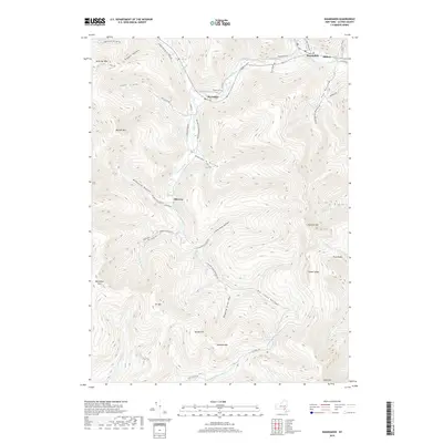
2019 Map of Shandaken
USGS Topo · Published 2019About this map
Esopus Creek carves a deep valley through the high peaks of the Catskills, serving as the central artery for the hamlets of Big Indian and Oliverea. This 2019 survey illustrates a landscape defined by sharp elevations and narrow hollows, where human settlement is strictly confined to the level ground along Birch Creek and the Esopus headwaters. In the south, the terrain rises toward Slide Mtn, the highest peak in the range, and Big Indian Mtn, creating a natural amphitheater of steep ridges including Fork Ridge and Giant Ledge. The map traces the modern footprint of the Big Indian Trl and Huron Trl as they navigate the watershed between Winnisook Lake and the various branches of the W Br Neversink River. These drainage patterns and narrow access roads like Big Indian-Slide Mountain Rd show how the topography has historically dictated the growth and isolation of these Ulster County communities.
Find a feature on this map
59 named features on this map. Tap any name to fly to it.
Don’t see what you’re looking for? This feature index may not catch every label — zoom into the map to look around manually.
Map Details
Editions of this 2019 Shandaken Map
This is the sole edition of this map. No revisions or reprints were ever made.
Other maps of this area

1900 · Phoenicia
USGS Topo · 1:62,500

1901 · Margaretville
USGS Topo · 1:62,500

1903 · Phoenicia
USGS Topo · 1:62,500

1903 · Slide Mountain
USGS Topo · 1:62,500

1904 · Margaretville
USGS Topo · 1:62,500

1905 · Slide Mountain
USGS Topo · 1:62,500

1910 · Neversink
USGS Topo · 1:62,500

1942 · West Shokan
USGS Topo · 1:24,000

1942 · Neversink
USGS Topo · 1:62,500

1943 · Peekamoose Mountain
USGS Topo · 1:31,680