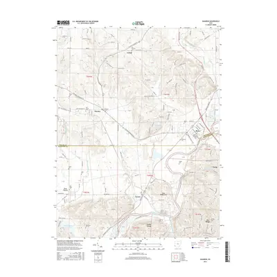
2016 Map of Shandon
USGS Topo · Published 2016About this map
Layhigh and Shandon anchor the northern landscape where the winding course of Paddys Run cuts through the terrain of Butler County. The map captures a transitional rural-suburban environment, defined by its numerous small burial grounds such as Ross Township Cem and Shandon Cem. To the south, the Great Miami River forms a significant geographical boundary near New Baltimore, where the land drops toward the river valley. Genealogists will find a wealth of local markers, including the uniquely named Mount Hope Pet Cem and the United Brethren Cem near Dry Ridge. The settlement of Ross serves as a central hub, connected by the Cincinnati Brookville Rd, while the Dry Fork Whitewater River defines the western edge of this surveyed area. This 2016 production reflects the enduring agricultural layout interspersed with modern residential developments.
Find a feature on this map
135 named features on this map. Tap any name to fly to it.
Don’t see what you’re looking for? This feature index may not catch every label — zoom into the map to look around manually.
Map Details
Editions of this 2016 Shandon Map
This is the sole edition of this map. No revisions or reprints were ever made.
Other maps of this area

1914 · West Cincinnati
USGS Topo · 1:62,500

1915 · Lawrenceburg
USGS Topo · 1:48,000

1915 · Harrison
USGS Topo · 1:48,000

1915 · Hamilton
USGS Topo · 1:62,500

1917 · Hamilton
USGS Topo · 1:62,500

1928 · Lawrenceburg
USGS Topo · 1:62,500

1932 · Lawrenceburg
USGS Topo · 1:62,500

1943 · Hooven
USGS Topo · 1:24,000

1953 · Cincinnati West
USGS Topo · 1:24,000

1953 · Cincinnati
USGS Topo · 1:250,000