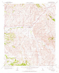
1961 Map of Shandon
USGS Topo · Published 1962About this map
Shandon serves as the central hub of this agricultural landscape in eastern San Luis Obispo County, situated at the confluence of Cholame Creek and San Juan Creek. The map documents a rural economy of the early 1960s, defined by scattered operations like the Alfalfa Ranch and the Jackson and Reinhert Ranch. To the west, Whitley Gardens lies near the Estrella River, while the southern reaches transition into the foothills of the Huerhuero and the high peaks of the Temblor Range to the east.
Find a feature on this map
67 named features on this map. Tap any name to fly to it.
Don’t see what you’re looking for? This feature index may not catch every label — zoom into the map to look around manually.
Map Details
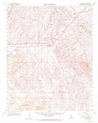
Editions of this 1961 Shandon Map
2 editions found
Other maps of this area

1897 · San Luis Obispo
USGS Topo · 1:62,500

1900 · San Luis
USGS Topo · 1:125,000

1914 · Cholame
USGS Topo · 1:125,000

1915 · Cholame
USGS Topo · 1:125,000

1917 · Cholame
USGS Topo · 1:125,000

1919 · San Miguel
USGS Topo · 1:62,500

1919 · Paso Robles
USGS Topo · 1:62,500

1922 · Pozo
USGS Topo · 1:62,500

1932 · La Panza
USGS Topo · 1:48,000

1935 · La Panza
USGS Topo · 1:62,500