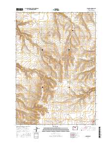
2017 Map of Shaniko
USGS Topo · Published 2017About this map
Shaniko sits at the southern edge of this high-desert plateau, where the landscape is defined by an intricate network of deep draws and hollows. The settlement of Bakeoven serves as a central anchor, connected by the historic route of Bakeoven Rd and Hinton Rd. Genealogists will find the Bakeoven Cem situated on a high bench overlooking the drainage of Bakeoven Cr. The terrain is marked by distinctive named features such as Nachter Butte and family-named landmarks like Mary McKinley Draw and Thompson Canyon. This survey illustrates the persistent ranching and agricultural patterns of Wasco County, where water sources like Homestead Spring remain critical points on the map. The relief is exceptionally sharp, falling away into various drainages including Ochoco Gulch Cr and Big Pine Hollow.
Find a feature on this map
27 named features on this map. Tap any name to fly to it.
Don’t see what you’re looking for? This feature index may not catch every label — zoom into the map to look around manually.
Map Details
Editions of this 2017 Shaniko Map
This is the sole edition of this map. No revisions or reprints were ever made.
Other maps of this area

1953 · The Dalles
USGS Topo · 1:250,000

1955 · Bend
USGS Topo · 1:250,000

1956 · The Dalles
USGS Topo · 1:250,000

1957 · Bend
USGS Topo · 1:250,000

1957 · The Dalles
USGS Topo · 1:250,000

1958 · Bend
USGS Topo · 1:250,000

1966 · Antelope
USGS Topo · 1:62,500

1966 · Willowdale
USGS Topo · 1:62,500

1970 · Kent
USGS Topo · 1:24,000

1970 · Macken Canyon
USGS Topo · 1:24,000