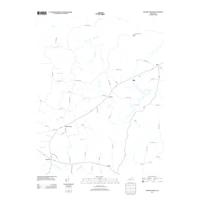
2013 Map of Sharon Grove
USGS Topo · Published 2013About this map
Sharon Grove serves as a central hub for this rural landscape in southwestern Kentucky, where several small communities are connected by a network of local roads and winding creek beds. The settlement of Everett lies just east of the central crossroads, while Spa and the waters of Spa Lake define the eastern edge of the survey. The terrain is notably dissected by watercourses like Wolf Lick Cr and Whippoorwill Cr, which have shaped the movement and settlement patterns of the area for generations.
Find a feature on this map
54 named features on this map. Tap any name to fly to it.
Don’t see what you’re looking for? This feature index may not catch every label — zoom into the map to look around manually.
Map Details
Editions of this 2013 Sharon Grove Map
This is the sole edition of this map. No revisions or reprints were ever made.
Other maps of this area

1911 · Drakesboro
USGS Topo · 1:48,000

1911 · Dunmor
USGS Topo · 1:48,000

1913 · Drakesboro
USGS Topo · 1:62,500

1914 · Dunmor
USGS Topo · 1:62,500

1950 · Olmstead
USGS Topo · 1:24,000

1951 · Elkton
USGS Topo · 1:24,000

1951 · Olmstead
USGS Topo · 1:24,000

1951 · Lewisburg
USGS Topo · 1:24,000

1952 · Russellville
USGS Topo · 1:24,000

1952 · Sharon Grove
USGS Topo · 1:24,000