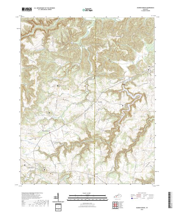
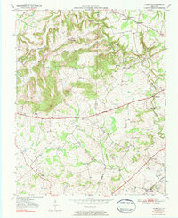
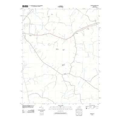
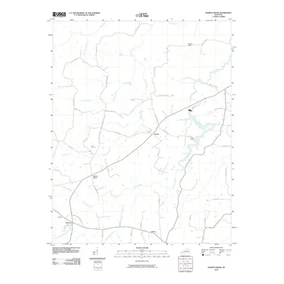
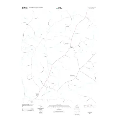
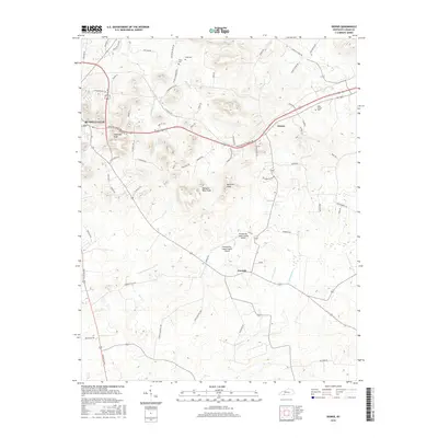
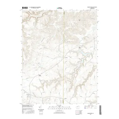
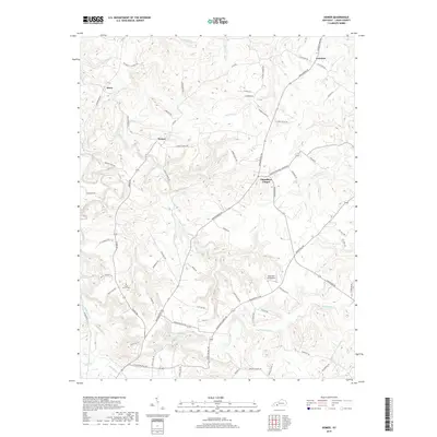
2022 Map of Sharon Grove
USGS Topo · Published 2022About this map
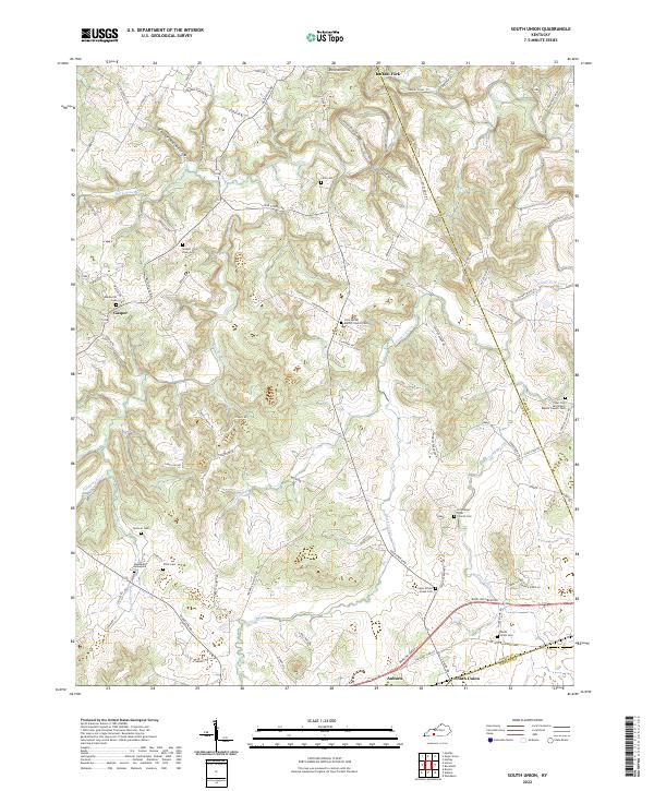
The Todd Co and Logan Co line bisects this landscape of deep-cut ridges and hollows in southwestern Kentucky. The terrain is defined by the winding course of Wolf Lick Creek and the heights of Duncan Ridge, where a network of rural roads like Sharon Grove Cliff Hill Rd and Duncan Ridge Rd follow the topography. Small settlements such as Sharon Grove and Spa serve as local hubs, while Spa Lake provides a notable water feature in the eastern section.
Find a feature on this map
73 named features on this map. Tap any name to fly to it.
Don’t see what you’re looking for? This feature index may not catch every label — zoom into the map to look around manually.
Map Details
Editions of this 2022 Sharon Grove Map
This is the sole edition of this map. No revisions or reprints were ever made.
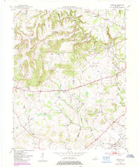
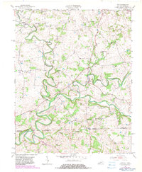
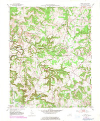
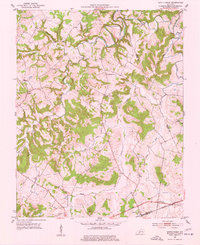
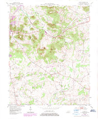
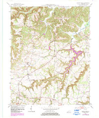
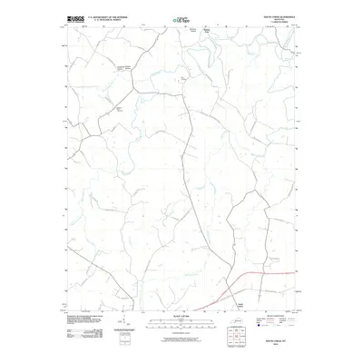
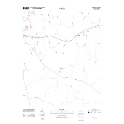
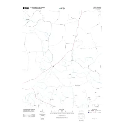
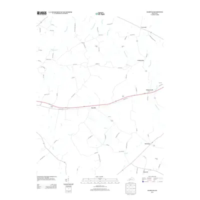
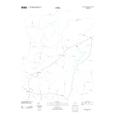
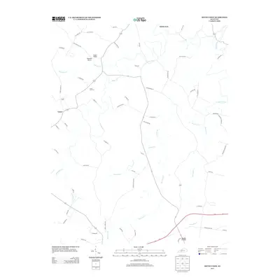
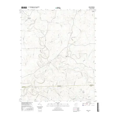
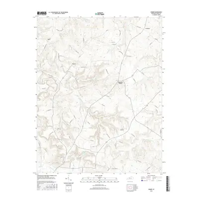
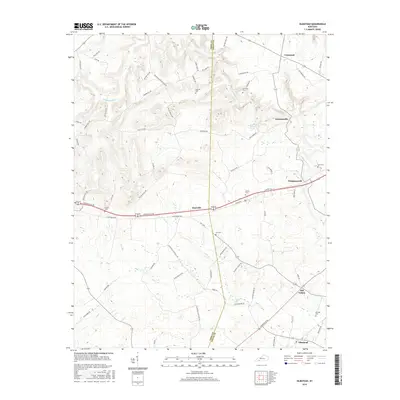
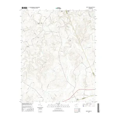
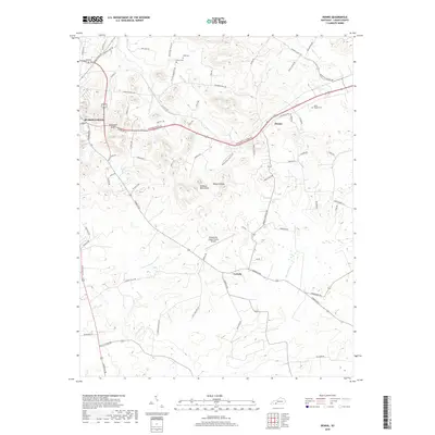
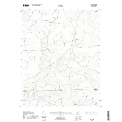
Historical Maps of Spa Through Time
37 maps found
1950 Olmstead
Logan County, KY
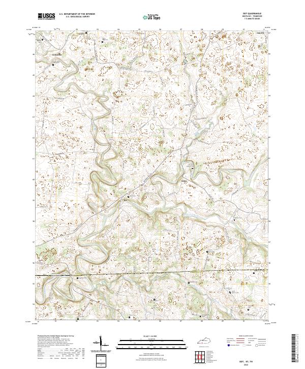
1951 Dot
Logan County, KY
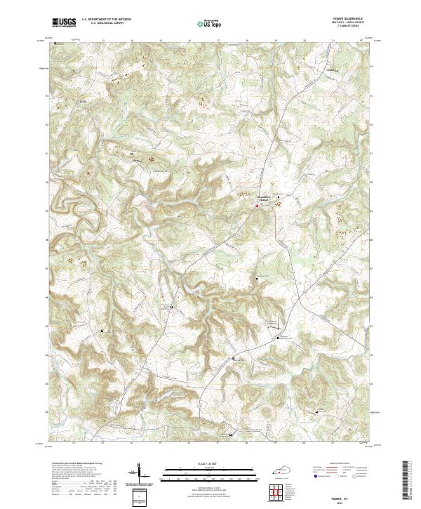
1951 Homer
Logan County, KY
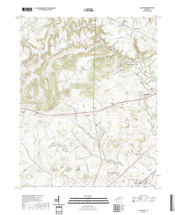
1951 Olmstead
Logan County, KY
1951 South Union
Logan County, KY
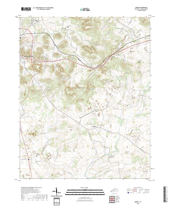
1952 Dennis
Logan County, KY
1952 Sharon Grove
Logan County, KY
2010 Dennis
Logan County, KY
2010 Dot
Logan County, KY
2010 Homer
Logan County, KY
2010 Olmstead
Logan County, KY
2010 Sharon Grove
Logan County, KY
2010 South Union
Logan County, KY
2013 Dennis
Logan County, KY
2013 Dot
Logan County, KY
2013 Homer
Logan County, KY
2013 Olmstead
Logan County, KY
2013 Sharon Grove
Logan County, KY
2013 South Union
Logan County, KY
2016 Dennis
Logan County, KY
2016 Dot
Logan County, KY
2016 Homer
Logan County, KY
2016 Olmstead
Logan County, KY
2016 Sharon Grove
Logan County, KY
2016 South Union
Logan County, KY
2019 Dennis
Logan County, KY
2019 Dot
Logan County, KY
2019 Homer
Logan County, KY
2019 Olmstead
Logan County, KY
2019 Sharon Grove
Logan County, KY
2019 South Union
Logan County, KY
2022 Dennis
Logan County, KY
2022 Dot
Logan County, KY
2022 Homer
Logan County, KY
2022 Olmstead
Logan County, KY
2022 Sharon Grove
Logan County, KY
2022 South Union
Logan County, KY