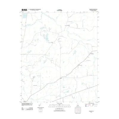
2012 Map of Sharon
USGS Topo · Published 2012About this map
Sharon serves as the central hub of this Madison County landscape, where the rural character is defined by a network of creek drainages and longstanding community landmarks. The area is heavily marked by its spiritual and genealogical heritage, featuring numerous church-affiliated cemeteries such as Saint John Missionary Baptist Church Cem and Saint Mark Church of God in Christ Cem. These sites, alongside Sims Chapel, reflect the deep-rooted social fabric of this region north of the state capital.
Find a feature on this map
60 named features on this map. Tap any name to fly to it.
Don’t see what you’re looking for? This feature index may not catch every label — zoom into the map to look around manually.
Map Details
Editions of this 2012 Sharon Map
This is the sole edition of this map. No revisions or reprints were ever made.
Other maps of this area

1953 · Meridian
USGS Topo · 1:250,000

1955 · Jackson
USGS Topo · 1:250,000

1957 · Meridian
USGS Topo · 1:250,000

1960 · Sharon
USGS Topo · 1:62,500

1961 · Jackson
USGS Topo · 1:250,000

1961 · Canton
USGS Topo · 1:62,500

1962 · Jackson
USGS Topo · 1:250,000

1964 · Camden
USGS Topo · 1:24,000

1964 · Vaughan
USGS Topo · 1:24,000

1965 · Meridian
USGS Topo · 1:250,000