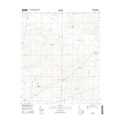
2015 Map of Sharon
USGS Topo · Published 2015About this map
The unincorporated community of Sharon and its surrounding rural landscapes are documented here in central Mississippi during the mid-2010s. The area is characterized by a dense network of country roads such as Stump Bridge Rd and Ratliff Ferry Rd, which connect numerous local churches and family burial grounds. For genealogists, the map is particularly detailed, showing sites like the Grafton Family Cem and Holliday Family Cem, alongside the Sharon Methodist Church Cem.
Find a feature on this map
65 named features on this map. Tap any name to fly to it.
Don’t see what you’re looking for? This feature index may not catch every label — zoom into the map to look around manually.
Map Details
Editions of this 2015 Sharon Map
This is the sole edition of this map. No revisions or reprints were ever made.
Other maps of this area

1953 · Meridian
USGS Topo · 1:250,000

1955 · Jackson
USGS Topo · 1:250,000

1957 · Meridian
USGS Topo · 1:250,000

1960 · Sharon
USGS Topo · 1:62,500

1961 · Jackson
USGS Topo · 1:250,000

1961 · Canton
USGS Topo · 1:62,500

1962 · Jackson
USGS Topo · 1:250,000

1964 · Camden
USGS Topo · 1:24,000

1964 · Vaughan
USGS Topo · 1:24,000

1965 · Meridian
USGS Topo · 1:250,000