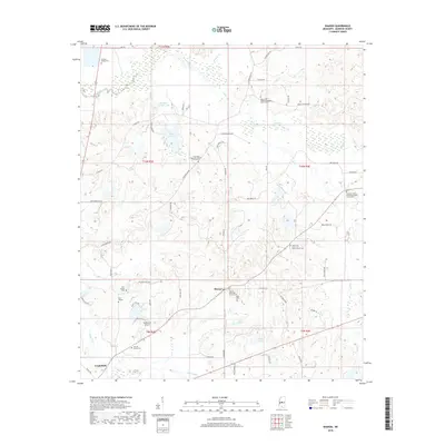
2018 Map of Sharon
USGS Topo · Published 2018About this map
The community of Sharon serves as a central point in this Madison County landscape, where the Sharon Methodist Church Cem and nearby Wells Cem reflect generations of local settlement. The terrain is defined by a network of creeks and small drainages including Doaks Creek and Tilda Bogue, which carve through the countryside northeast of Canton. For genealogists, the map is remarkably dense with family and congregational burial grounds, such as the Grafton Family Cem, Holiday Family Cem, and the Saint Paul Missionary Baptist Church Cem. These landmarks, alongside private aviation sites like Supplejack Airport, illustrate the transition from traditional farming life to modern rural residency. The presence of numerous named water bodies like Lake Lepace and Hassley-Herron Lake highlights the importance of water management in this agricultural region during the early twenty-first century.
Find a feature on this map
65 named features on this map. Tap any name to fly to it.
Don’t see what you’re looking for? This feature index may not catch every label — zoom into the map to look around manually.
Map Details
Editions of this 2018 Sharon Map
This is the sole edition of this map. No revisions or reprints were ever made.
Other maps of this area

1953 · Meridian
USGS Topo · 1:250,000

1955 · Jackson
USGS Topo · 1:250,000

1957 · Meridian
USGS Topo · 1:250,000

1960 · Sharon
USGS Topo · 1:62,500

1961 · Jackson
USGS Topo · 1:250,000

1961 · Canton
USGS Topo · 1:62,500

1962 · Jackson
USGS Topo · 1:250,000

1964 · Camden
USGS Topo · 1:24,000

1964 · Vaughan
USGS Topo · 1:24,000

1965 · Meridian
USGS Topo · 1:250,000