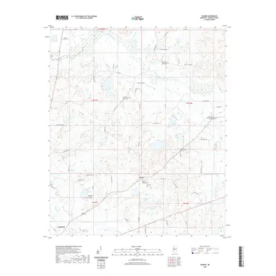
2020 Map of Sharon
USGS Topo · Published 2020About this map
The community of Sharon serves as a central hub in this Madison County landscape, where the intersection of Sharon Rd and Old Hwy 16 anchors a network of rural homesteads and agricultural tracts. The geography is defined by its many drainages, including the southern flow of Tilda Bogue and the winding course of Doaks Creek to the north. Small private airstrips like Supplejack Airport and numerous secluded water bodies such as Hassley-Herron Lake and Lake Lepace suggest a modern era of decentralized utility and recreation.
Find a feature on this map
68 named features on this map. Tap any name to fly to it.
Don’t see what you’re looking for? This feature index may not catch every label — zoom into the map to look around manually.
Map Details
Editions of this 2020 Sharon Map
This is the sole edition of this map. No revisions or reprints were ever made.
Other maps of this area

1953 · Meridian
USGS Topo · 1:250,000

1955 · Jackson
USGS Topo · 1:250,000

1957 · Meridian
USGS Topo · 1:250,000

1960 · Sharon
USGS Topo · 1:62,500

1961 · Jackson
USGS Topo · 1:250,000

1961 · Canton
USGS Topo · 1:62,500

1962 · Jackson
USGS Topo · 1:250,000

1964 · Camden
USGS Topo · 1:24,000

1964 · Vaughan
USGS Topo · 1:24,000

1965 · Meridian
USGS Topo · 1:250,000