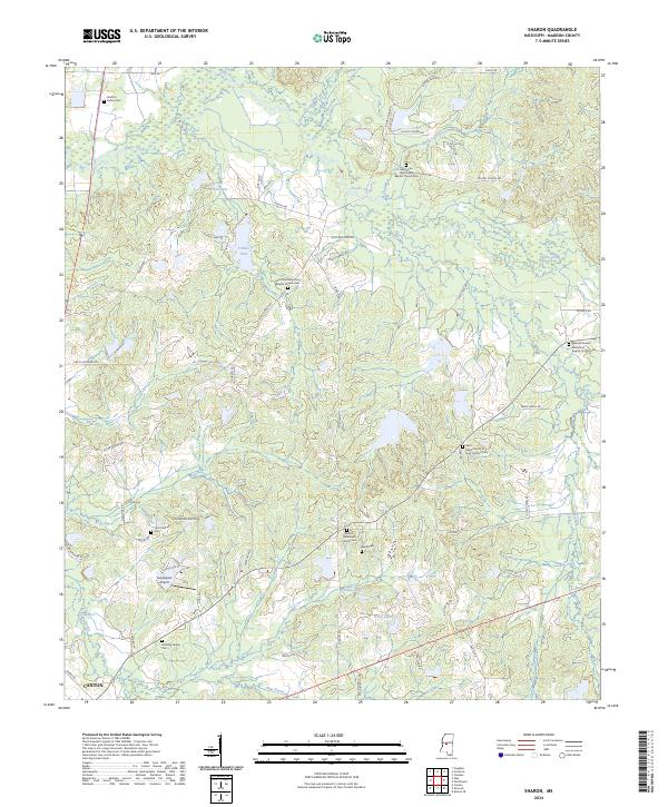
2024 Map of Sharon
USGS Topo · Published 2024About this map
The community of Sharon and the outskirts of Canton anchor this Madison County landscape, where family heritage is deeply etched into the geography. Numerous small cemeteries and country churches are scattered throughout the quadrangle, including the Grafton Family Cem and Holiday Family Cem, which offer significant points of interest for genealogists tracking local roots. The terrain is defined by a network of creeks like Hobuck Creek and Doaks Creek that flow through the timbered sections of the region.
Find a feature on this map
67 named features on this map. Tap any name to fly to it.
Don’t see what you’re looking for? This feature index may not catch every label — zoom into the map to look around manually.
Map Details
Editions of this 2024 Sharon Map
This is the sole edition of this map. No revisions or reprints were ever made.
Other maps of this area

1953 · Meridian
USGS Topo · 1:250,000

1955 · Jackson
USGS Topo · 1:250,000

1957 · Meridian
USGS Topo · 1:250,000

1960 · Sharon
USGS Topo · 1:62,500

1961 · Jackson
USGS Topo · 1:250,000

1961 · Canton
USGS Topo · 1:62,500

1962 · Jackson
USGS Topo · 1:250,000

1964 · Camden
USGS Topo · 1:24,000

1964 · Vaughan
USGS Topo · 1:24,000

1965 · Meridian
USGS Topo · 1:250,000