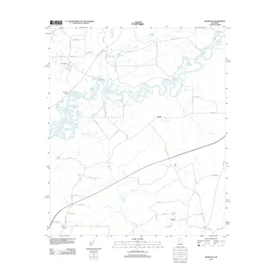
2012 Map of Sharon SE
USGS Topo · Published 2012About this map
Eureka sits at the southern reach of this landscape, a settlement defined by its local intersections and the nearby Eureka Cem and Midway Cem. To the north, the Pearl River winds in complex oxbows and meanders, creating a riparian environment filled with named backwaters like Tupelo Gum Lake, Alligator Lake, and Richards Old River. The presence of Ratliff Ferry and the Natchez Trace Pkwy highlights the importance of river crossings and historical transit corridors in this part of Mississippi.
Find a feature on this map
81 named features on this map. Tap any name to fly to it.
Don’t see what you’re looking for? This feature index may not catch every label — zoom into the map to look around manually.
Map Details
Editions of this 2012 Sharon SE Map
This is the sole edition of this map. No revisions or reprints were ever made.
Other maps of this area

1922 · Morton
USGS Topo · 1:48,000

1922 · Pelahatchee
USGS Topo · 1:48,000

1924 · Pelahatchee
USGS Topo · 1:62,500

1924 · Morton
USGS Topo · 1:62,500

1950 · Pelahatchie
USGS Topo · 1:62,500

1951 · Morton
USGS Topo · 1:62,500

1952 · Pelahatchie
USGS Topo · 1:62,500

1953 · Meridian
USGS Topo · 1:250,000

1957 · Meridian
USGS Topo · 1:250,000

1960 · Sharon
USGS Topo · 1:62,500