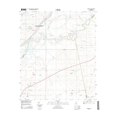
2015 Map of Sharon SE
USGS Topo · Published 2015About this map
The Pearl River meanders across this landscape where the boundaries of Madison, Scott, and Rankin Counties converge. The river's serpentine path is flanked by numerous oxbow lakes and backwaters, including Richards Old River and Tupelo Gum Lake, indicating a dynamic floodplain. To the southwest, the waters open into the Ross R Barnett Reservoir, a major geographic shift for the region.
Find a feature on this map
73 named features on this map. Tap any name to fly to it.
Don’t see what you’re looking for? This feature index may not catch every label — zoom into the map to look around manually.
Map Details
Editions of this 2015 Sharon SE Map
This is the sole edition of this map. No revisions or reprints were ever made.
Other maps of this area

1922 · Morton
USGS Topo · 1:48,000

1922 · Pelahatchee
USGS Topo · 1:48,000

1924 · Pelahatchee
USGS Topo · 1:62,500

1924 · Morton
USGS Topo · 1:62,500

1950 · Pelahatchie
USGS Topo · 1:62,500

1951 · Morton
USGS Topo · 1:62,500

1952 · Pelahatchie
USGS Topo · 1:62,500

1953 · Meridian
USGS Topo · 1:250,000

1957 · Meridian
USGS Topo · 1:250,000

1960 · Sharon
USGS Topo · 1:62,500