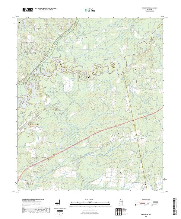
2024 Map of Sharon SE
USGS Topo · Published 2024About this map
Ratliffs Ferry and the meandering Pearl River form a central axis for this landscape where Madison, Scott, and Rankin counties meet. The region is characterized by a complex network of oxbows and backwaters, including Alligator Lake, Pine Bluff Lake, and Richards-Old River, which reflect the historic shifting of the river's path. Traces of past industry and transport are evident in the path of the Old RR E and the Natchez Trace Parkway, which cuts through the northwestern corner alongside the Natchez Trace National Scenic Trail.
Find a feature on this map
65 named features on this map. Tap any name to fly to it.
Don’t see what you’re looking for? This feature index may not catch every label — zoom into the map to look around manually.
Map Details
Editions of this 2024 Sharon SE Map
This is the sole edition of this map. No revisions or reprints were ever made.
Other maps of this area

1922 · Morton
USGS Topo · 1:48,000

1922 · Pelahatchee
USGS Topo · 1:48,000

1924 · Pelahatchee
USGS Topo · 1:62,500

1924 · Morton
USGS Topo · 1:62,500

1950 · Pelahatchie
USGS Topo · 1:62,500

1951 · Morton
USGS Topo · 1:62,500

1952 · Pelahatchie
USGS Topo · 1:62,500

1953 · Meridian
USGS Topo · 1:250,000

1957 · Meridian
USGS Topo · 1:250,000

1960 · Sharon
USGS Topo · 1:62,500