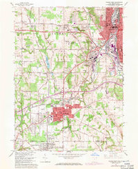
1962 Map of Sharon West
USGS Topo · Published 1971About this map
The Ohio-Pennsylvania border corridor in the early 1960s was a landscape defined by industrial centers and rail lines, most notably where the Sharon and Farrell urban areas meet the Shenango River. This survey captures the region just before significant interstate expansion, highlighting established neighborhoods in Hubbard and the unincorporated community of Masury. The industrial heart of the valley is evident in the dense network of the Penn Central and Erie-Lackawanna railroads, which linked these steel-producing towns to the broader regional economy.
Find a feature on this map
58 named features on this map. Tap any name to fly to it.
Don’t see what you’re looking for? This feature index may not catch every label — zoom into the map to look around manually.
Map Details
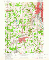
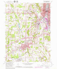
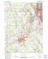
Editions of this 1962 Sharon West Map
4 editions found
Other maps of this area

1905 · Neshannock
USGS Topo · 1:62,500

1906 · Youngstown
USGS Topo · 1:62,500

1907 · Neshannock
USGS Topo · 1:62,500

1907 · Kinsman
USGS Topo · 1:62,500

1908 · Shenango
USGS Topo · 1:62,500

1908 · Youngstown
USGS Topo · 1:62,500

1950 · Cleveland
USGS Topo · 1:250,000

1951 · Campbell
USGS Topo · 1:24,000

1951 · Youngstown
USGS Topo · 1:24,000

1954 · Sharon West
USGS Topo · 1:24,000