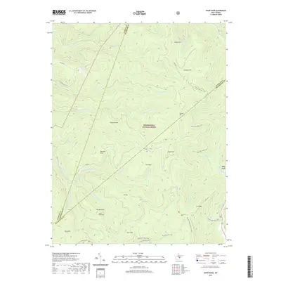
2019 Map of Sharp Knob
USGS Topo · Published 2019About this map
Monongahela National Forest dominates this landscape where the high ridges of the Yew Mountains and Gauley Mtn define the drainage of several major West Virginia waterways. The topography is marked by significant elevation changes, with the Gauley Divide separating the waters of the Elk River to the east from the multiple forks of the Gauley River to the west. This area serves as a critical headwaters region, showing the intricate network of runs such as Bergoo Cr and Tea Cr.
Find a feature on this map
42 named features on this map. Tap any name to fly to it.
Don’t see what you’re looking for? This feature index may not catch every label — zoom into the map to look around manually.
Map Details
Editions of this 2019 Sharp Knob Map
This is the sole edition of this map. No revisions or reprints were ever made.
Other maps of this area

1891 · Huntersville
USGS Topo · 1:125,000

1893 · Buckhannon
USGS Topo · 1:125,000

1894 · Huntersville
USGS Topo · 1:125,000

1896 · Buckhannon
USGS Topo · 1:125,000

1897 · Buckhannon
USGS Topo · 1:125,000

1913 · Hacker Valley
USGS Topo · 1:48,000

1913 · Pickens
USGS Topo · 1:48,000

1915 · Webster Springs
USGS Topo · 1:48,000

1915 · Hacker Valley
USGS Topo · 1:62,500

1915 · Pickens
USGS Topo · 1:62,500