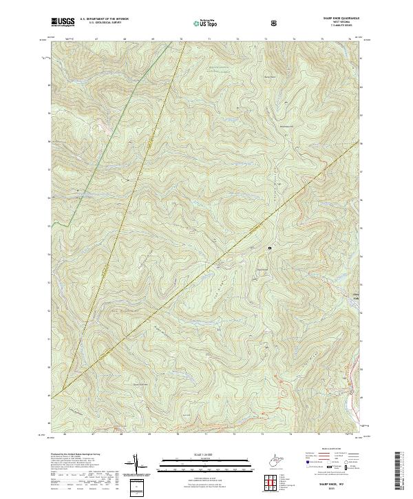
2023 Map of Sharp Knob
USGS Topo · Published 2023About this map
Gauley Mountain and the high ridges of the Yew Mountains dominate this section of the Monongahela National Forest in the 2020s. The landscape is defined by the headwaters of two major drainage systems, where the Elk River begins its course to the east and the various forks of the Gauley River—including the North Fork, Middle Fork, and South Fork—emerge from the steep slopes of Gauley Divide. The small settlement of Slaty Fork sits at the eastern edge, serving as a gateway to the high-country terrain. Researchers can trace numerous forest routes and trails, such as the Tea Creek Trail and Boundary Trail, which navigate the complex topography around landmarks like Sharp Knob and Buck Knob. The convergence of county lines for Webster, Randolph, and Pocahontas occurs amidst these peaks, marking a remote tri-county intersection.
Find a feature on this map
47 named features on this map. Tap any name to fly to it.
Don’t see what you’re looking for? This feature index may not catch every label — zoom into the map to look around manually.
Map Details
Editions of this 2023 Sharp Knob Map
This is the sole edition of this map. No revisions or reprints were ever made.
Other maps of this area

1891 · Huntersville
USGS Topo · 1:125,000

1893 · Buckhannon
USGS Topo · 1:125,000

1894 · Huntersville
USGS Topo · 1:125,000

1896 · Buckhannon
USGS Topo · 1:125,000

1897 · Buckhannon
USGS Topo · 1:125,000

1913 · Hacker Valley
USGS Topo · 1:48,000

1913 · Pickens
USGS Topo · 1:48,000

1915 · Webster Springs
USGS Topo · 1:48,000

1915 · Hacker Valley
USGS Topo · 1:62,500

1915 · Pickens
USGS Topo · 1:62,500