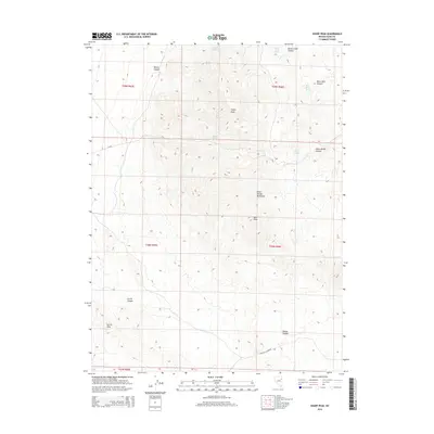
2014 Map of Sharp Peak
USGS Topo · Published 2014About this map
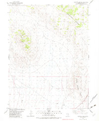
The Dolly Varden Mountains dominate this high-desert landscape in northeastern Nevada, anchored by the prominent elevations of Sharp Peak and Bald Peak. This high-altitude terrain is defined by a series of deep drainages, including Dolly Varden Canyon, Currie Canyon, and Millick Canyon. Water sources, critical for any activity in this arid region, are mapped as scattered points such as Mizpah Springs, Deer Spring, and Black Rock Spring.
Find a feature on this map
23 named features on this map. Tap any name to fly to it.
Don’t see what you’re looking for? This feature index may not catch every label — zoom into the map to look around manually.
Map Details
Editions of this 2014 Sharp Peak Map
This is the sole edition of this map. No revisions or reprints were ever made.
Other maps of this area

1955 · Elko
USGS Topo · 1:250,000

1958 · Elko
USGS Topo · 1:250,000

1962 · Elko
USGS Topo · 1:250,000

1965 · Elko
USGS Topo · 1:250,000

1982 · Currie
USGS Topo · 1:24,000
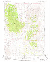
1982 · Boone Canyon
USGS Topo · 1:24,000

1982 · Sharp Peak
USGS Topo · 1:24,000
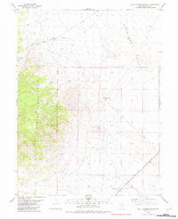
1982 · Dolly Varden Spring
USGS Topo · 1:24,000
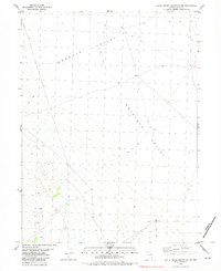
1982 · White Horse Mountain NW
USGS Topo · 1:24,000
1982 · Goshute Lake NE
USGS Topo · 1:24,000