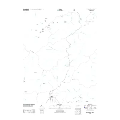
2013 Map of Sharp Place
USGS Topo · Published 2013About this map
Sharp Place sits within a complex network of ridges and drainages along the Tennessee-Kentucky border. The topography is defined by prominent landmarks such as Pinnacle Mountain and Parker Mountain, with the landscape deeply carved by the Flint Fork and Laurel Fork river systems. Numerous hollows, including Orchard Hollow, Betsy Hollow, and Hoover Hollow, indicate a long history of local naming conventions tied to specific geographical features.
Find a feature on this map
74 named features on this map. Tap any name to fly to it.
Don’t see what you’re looking for? This feature index may not catch every label — zoom into the map to look around manually.
Map Details
Editions of this 2013 Sharp Place Map
This is the sole edition of this map. No revisions or reprints were ever made.
Other maps of this area

1895 · Wartburg
USGS Topo · 1:125,000

1896 · Wartburg
USGS Topo · 1:125,000

1934 · Barthell
USGS Topo · 1:62,500

1934 · Pall Mall
USGS Topo · 1:62,500

1952 · Honey Creek
USGS Topo · 1:24,000

1954 · Stockton
USGS Topo · 1:24,000

1954 · Parmleysville
USGS Topo · 1:24,000

1954 · Jamestown
USGS Topo · 1:24,000

1954 · Powersburg
USGS Topo · 1:24,000

1954 · Bell Farm
USGS Topo · 1:24,000