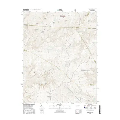
2016 Map of Sharp Place
USGS Topo · Published 2016About this map
Sharp Place sits at the heart of this landscape where the borders of Tennessee and Kentucky meet amidst the high ridges and deep hollows of the Cumberland Plateau. This 2016 survey documents a region defined by its complex drainage systems, including Rock Cr and the Little S Fork, which have carved out distinctive geologic landmarks like Chimney Rock and Yellow Cliff. The map illustrates a rural settlement pattern where family history is tied to the land, evidenced by numerous small burial sites such as the Sharp-Smith Cem, Dobbs Cem, and the Blevins Cem near the McCreary County line. Large tracts of protected land, including the Daniel Boone National Forest and the Big South Fork National River and Recreation Area, dominate the eastern and northern portions, preserving the primitive character of places like Bearpen Rough and Opossum Trot.
Find a feature on this map
90 named features on this map. Tap any name to fly to it.
Don’t see what you’re looking for? This feature index may not catch every label — zoom into the map to look around manually.
Map Details
Editions of this 2016 Sharp Place Map
This is the sole edition of this map. No revisions or reprints were ever made.
Other maps of this area

1895 · Wartburg
USGS Topo · 1:125,000

1896 · Wartburg
USGS Topo · 1:125,000

1934 · Barthell
USGS Topo · 1:62,500

1934 · Pall Mall
USGS Topo · 1:62,500

1952 · Honey Creek
USGS Topo · 1:24,000

1954 · Stockton
USGS Topo · 1:24,000

1954 · Parmleysville
USGS Topo · 1:24,000

1954 · Jamestown
USGS Topo · 1:24,000

1954 · Powersburg
USGS Topo · 1:24,000

1954 · Bell Farm
USGS Topo · 1:24,000