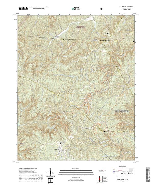
2022 Map of Sharp Place
USGS Topo · Published 2022About this map
Sharp Place serves as the focal point for this survey along the high borderlands of the Tennessee and Kentucky line. The landscape is defined by the headwaters of the Flint Fork and Laurel Fork, which carve through deep ridges such as Phillip Ridge and Fork Ridge. This modern topographic study reveals a terrain heavily managed for recreation and conservation, split between the Daniel Boone National Forest and the Big South Fork National River and Recreation Area.
Find a feature on this map
106 named features on this map. Tap any name to fly to it.
Don’t see what you’re looking for? This feature index may not catch every label — zoom into the map to look around manually.
Map Details
Editions of this 2022 Sharp Place Map
This is the sole edition of this map. No revisions or reprints were ever made.
Other maps of this area

1895 · Wartburg
USGS Topo · 1:125,000

1896 · Wartburg
USGS Topo · 1:125,000

1934 · Barthell
USGS Topo · 1:62,500

1934 · Pall Mall
USGS Topo · 1:62,500

1952 · Honey Creek
USGS Topo · 1:24,000

1954 · Stockton
USGS Topo · 1:24,000

1954 · Parmleysville
USGS Topo · 1:24,000

1954 · Jamestown
USGS Topo · 1:24,000

1954 · Powersburg
USGS Topo · 1:24,000

1954 · Bell Farm
USGS Topo · 1:24,000