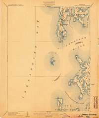
1904 Map of Sharps Island
USGS Topo · Published 1904About this map
Sharps Island sits at the center of this maritime survey, a landmass that has undergone significant shoreline change since the turn of the century. Located where the Choptank River meets the Chesapeake Bay, the map reveals a landscape defined by tidewater commerce and isolated peninsulas. On the northern neck, settlements like Neavitt and Tilghman serve as hubs for the water-based economy, with the Tilghman Island Landing providing a critical connection to the mainland.
Find a feature on this map
44 named features on this map. Tap any name to fly to it.
Don’t see what you’re looking for? This feature index may not catch every label — zoom into the map to look around manually.
Map Details
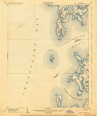
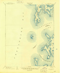
Editions of this 1904 Sharps Island Map
3 editions found
Other maps of this area

1892 · Leonardtown
USGS Topo · 1:62,500

1892 · Drum Point
USGS Topo · 1:62,500

1892 · Prince Frederick
USGS Topo · 1:62,500

1892 · Owensville
USGS Topo · 1:62,500

1892 · Annapolis
USGS Topo · 1:62,500
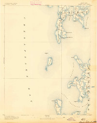
1893 · Sharps Island
USGS Topo · 1:62,500

1895 · Prince Frederick
USGS Topo · 1:62,500

1895 · Leonardtown
USGS Topo · 1:62,500

1895 · Nomini
USGS Topo · 1:125,000

1895 · Owensville
USGS Topo · 1:62,500