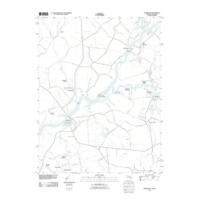
2011 Map of Sharptown
USGS Topo · Published 2011About this map
The Nanticoke River defines the landscape of this Maryland-Delaware border region, where the historic Woodland Ferry continues to cross the water. The town of Sharptown sits as a primary hub on the river's southern bank, supported by the Sharptown Post Office and nearby community spaces like the Nanticoke Boy Scout Reservation. Across the river and further north, the settlement of Galestown is marked by the Galestown Millpond Dam and the winding course of Gales Creek.
Find a feature on this map
116 named features on this map. Tap any name to fly to it.
Don’t see what you’re looking for? This feature index may not catch every label — zoom into the map to look around manually.
Map Details
Editions of this 2011 Sharptown Map
This is the sole edition of this map. No revisions or reprints were ever made.
Other maps of this area

1901 · Salisbury
USGS Topo · 1:62,500

1903 · Nanticoke
USGS Topo · 1:62,500

1905 · Hurlock
USGS Topo · 1:62,500

1915 · Seaford
USGS Topo · 1:62,500

1942 · Mardela Springs
USGS Topo · 1:24,000

1942 · Hebron
USGS Topo · 1:24,000

1942 · Delmar
USGS Topo · 1:24,000
1943 · Mardela Springs
USGS Topo · 1:31,680
1943 · Delmar
USGS Topo · 1:31,680

1943 · Hebron
USGS Topo · 1:31,680