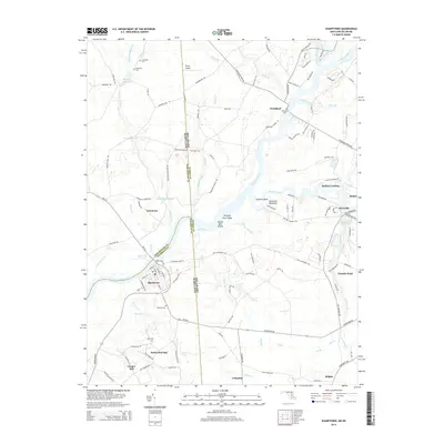
2014 Map of Sharptown
USGS Topo · Published 2014About this map
The Nanticoke River and its major tributaries, Broad Creek and Cod Creek, define this Maryland and Delaware borderlands region. In Maryland, the town of Sharptown sits on the southern bank of the river, connected by a network of rural roads to small inland communities like Santo Domingo and Cooper Mill. Across the state line in Delaware, the landscape is dotted with small residential clusters including Woodland and Portsville. The area's agricultural and industrial heritage is evident in the numerous mill-related features, such as Wrights Millpond and Galestown Millpond, which represent the historical reliance on water power along the smaller creeks. Genealogical interest is high here, with several family and community burial grounds documented, including Cokesbury Cem and Zion Cem. Notable landmarks like Pevey Airport and the Hawks Nest Shoals on the Nanticoke illustrate the region's mix of aviation and river-based activity.
Find a feature on this map
132 named features on this map. Tap any name to fly to it.
Don’t see what you’re looking for? This feature index may not catch every label — zoom into the map to look around manually.
Map Details
Editions of this 2014 Sharptown Map
This is the sole edition of this map. No revisions or reprints were ever made.
Other maps of this area

1901 · Salisbury
USGS Topo · 1:62,500

1903 · Nanticoke
USGS Topo · 1:62,500

1905 · Hurlock
USGS Topo · 1:62,500

1915 · Seaford
USGS Topo · 1:62,500

1942 · Mardela Springs
USGS Topo · 1:24,000

1942 · Hebron
USGS Topo · 1:24,000

1942 · Delmar
USGS Topo · 1:24,000
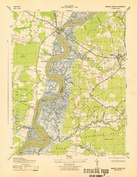
1943 · Mardela Springs
USGS Topo · 1:31,680
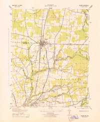
1943 · Delmar
USGS Topo · 1:31,680

1943 · Hebron
USGS Topo · 1:31,680