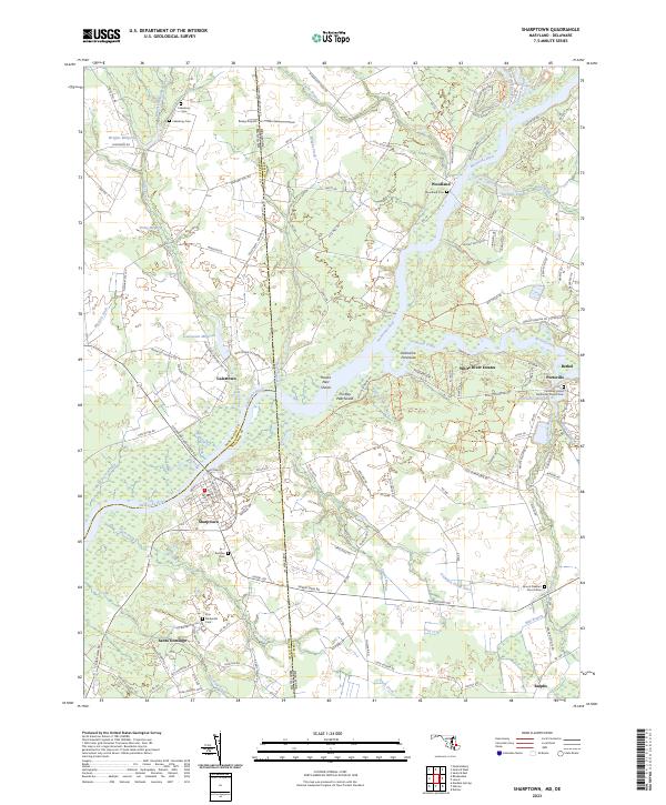
2023 Map of Sharptown
USGS Topo · Published 2023About this map
The Nanticoke River carves a winding path through this corner of the Delmarva Peninsula, serving as a natural boundary between Maryland and Delaware. The town of Sharptown sits prominently on the southern bank, while the historic settlement of Santo Domingo lies just to the south. This area is characterized by a complex network of waterways and millponds, including Galestown Millpond and Portsville Millpond, which reflect the region's long-standing reliance on hydraulic power and river access.
Find a feature on this map
148 named features on this map. Tap any name to fly to it.
Don’t see what you’re looking for? This feature index may not catch every label — zoom into the map to look around manually.
Map Details
Editions of this 2023 Sharptown Map
This is the sole edition of this map. No revisions or reprints were ever made.
Other maps of this area

1901 · Salisbury
USGS Topo · 1:62,500

1903 · Nanticoke
USGS Topo · 1:62,500

1905 · Hurlock
USGS Topo · 1:62,500

1915 · Seaford
USGS Topo · 1:62,500

1942 · Mardela Springs
USGS Topo · 1:24,000

1942 · Hebron
USGS Topo · 1:24,000

1942 · Delmar
USGS Topo · 1:24,000
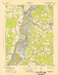
1943 · Mardela Springs
USGS Topo · 1:31,680
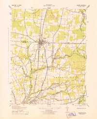
1943 · Delmar
USGS Topo · 1:31,680

1943 · Hebron
USGS Topo · 1:31,680