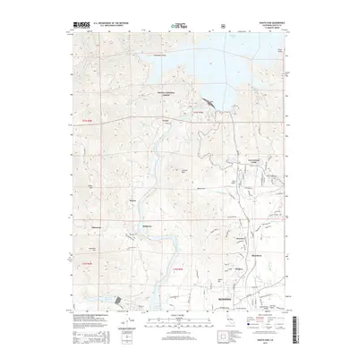
2015 Map of Shasta Dam
USGS Topo · Published 2015About this map
Shasta Dam anchors this portion of the northern Sacramento Valley, holding back the massive reach of Shasta Lake at the edge of the Shasta National Forest. Downstream, the Sacramento River carves south through a landscape of industrial history and varied elevations, including peaks like Chamise Peak and Democrat Mtn. The river corridor is flanked by established and historical settlements, from the residential clusters at Government Camp and Coram to the riverside locales of Motion and Matheson. The southern portion of the map shows the transition into the outskirts of Redding, where the growing neighborhoods of Buckeye, Newtown, and Silverthorn are situated. This record captures the intricate balance between water management infrastructure, forest conservation, and the residential expansion north of the city as it appeared in the mid-2010s.
Find a feature on this map
98 named features on this map. Tap any name to fly to it.
Don’t see what you’re looking for? This feature index may not catch every label — zoom into the map to look around manually.
Map Details
Editions of this 2015 Shasta Dam Map
This is the sole edition of this map. No revisions or reprints were ever made.
Other maps of this area

1890 · Red Bluff
USGS Topo · 1:250,000

1894 · Red Bluff
USGS Topo · 1:250,000

1901 · Redding
USGS Topo · 1:125,000

1913 · Weaverville
USGS Topo · 1:125,000

1944 · Redding
USGS Topo · 1:62,500

1944 · French Gulch
USGS Topo · 1:62,500

1946 · Lamoine
USGS Topo · 1:62,500

1946 · Redding
USGS Topo · 1:62,500

1948 · French Gulch
USGS Topo · 1:62,500

1950 · Schell Mtn
USGS Topo · 1:62,500