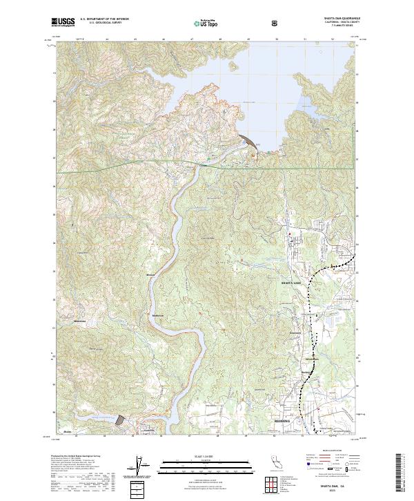
2023 Map of Shasta Dam
USGS Topo · Published 2023About this map
The Sacramento River corridor north of Redding is defined by the massive infrastructure and managed waters of the mid-twentieth century. This survey details the landscape surrounding Shasta Lake, where the Livingston Stone National Fish Hatchery sits below the dam near the historic site of Coram. The terrain transitions from the protected timberlands of the Shasta National Forest to the industrial and residential clusters of Shasta Lake and Central Valley.
Find a feature on this map
107 named features on this map. Tap any name to fly to it.
Don’t see what you’re looking for? This feature index may not catch every label — zoom into the map to look around manually.
Map Details
Editions of this 2023 Shasta Dam Map
This is the sole edition of this map. No revisions or reprints were ever made.
Other maps of this area

1890 · Red Bluff
USGS Topo · 1:250,000

1894 · Red Bluff
USGS Topo · 1:250,000

1901 · Redding
USGS Topo · 1:125,000

1913 · Weaverville
USGS Topo · 1:125,000

1944 · Redding
USGS Topo · 1:62,500

1944 · French Gulch
USGS Topo · 1:62,500

1946 · Lamoine
USGS Topo · 1:62,500

1946 · Redding
USGS Topo · 1:62,500

1948 · French Gulch
USGS Topo · 1:62,500

1950 · Schell Mtn
USGS Topo · 1:62,500