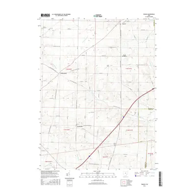
2016 Map of Shauck
USGS Topo · Published 2016About this map
Shauck and North Woodbury anchor the northeastern portion of this Morrow County landscape, where the agricultural grid is deeply intertwined with the headwaters of the Muskingum River basin. The terrain is defined by the winding course of the N Br Kokosing River and Sylvester Run, which carve through the glacial till of central Ohio. This survey captures a series of long-standing rural hamlets including Williamsport and Pulaskiville, locations that have served as local nodes for generations of farming families.
Find a feature on this map
83 named features on this map. Tap any name to fly to it.
Don’t see what you’re looking for? This feature index may not catch every label — zoom into the map to look around manually.
Map Details
Editions of this 2016 Shauck Map
This is the sole edition of this map. No revisions or reprints were ever made.
Other maps of this area

1913 · Mount Gilead
USGS Topo · 1:62,500

1915 · Shauck
USGS Topo · 1:62,500

1915 · Marengo
USGS Topo · 1:62,500

1915 · Fredericktown
USGS Topo · 1:62,500

1916 · Mount Gilead
USGS Topo · 1:62,500

1943 · Shauck
USGS Topo · 1:62,500

1943 · Marengo
USGS Topo · 1:62,500

1943 · Mount Gilead
USGS Topo · 1:62,500

1943 · Fredericktown
USGS Topo · 1:62,500

1950 · Marion
USGS Topo · 1:250,000
Featured Places
- Harmony Township, OH
- Perry Township, OH
- Congress Township, OH
- Perry Township, OH
- Middlebury Township, OH