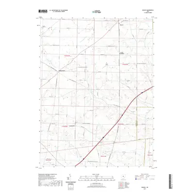
2019 Map of Shauck
USGS Topo · Published 2019About this map
Shauck and North Woodbury anchor this rural landscape in northeastern Morrow County, where agricultural patterns are defined by the headwaters of several regional drainage systems. The N Br Kokosing River and Kokosing River wind through the southern sections, while the E Br Whetstone Cr cuts across the northwest corner near the Pleasant Grove Cem. This survey illustrates the persistent 19th-century settlement structure of the area, centered on small crossroads like Williamsport and Pulaskiville.
Find a feature on this map
79 named features on this map. Tap any name to fly to it.
Don’t see what you’re looking for? This feature index may not catch every label — zoom into the map to look around manually.
Map Details
Editions of this 2019 Shauck Map
This is the sole edition of this map. No revisions or reprints were ever made.
Other maps of this area

1913 · Mount Gilead
USGS Topo · 1:62,500

1915 · Shauck
USGS Topo · 1:62,500

1915 · Marengo
USGS Topo · 1:62,500

1915 · Fredericktown
USGS Topo · 1:62,500

1916 · Mount Gilead
USGS Topo · 1:62,500

1943 · Shauck
USGS Topo · 1:62,500

1943 · Marengo
USGS Topo · 1:62,500

1943 · Mount Gilead
USGS Topo · 1:62,500

1943 · Fredericktown
USGS Topo · 1:62,500

1950 · Marion
USGS Topo · 1:250,000
Featured Places
- Harmony Township, OH
- Perry Township, OH
- Congress Township, OH
- Perry Township, OH
- Middlebury Township, OH