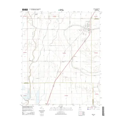
2015 Map of Shaw
USGS Topo · Published 2015About this map
Shaw serves as the primary hub of this Mississippi Delta landscape, situated at the intersection of Bolivar and Sunflower Counties. The town's grid is detailed down to streets like Railroad Ave and Issaquena St, reflecting a community historically tied to the surrounding agricultural plains. The terrain is defined by a dense network of meandering waterways, including Bogue Phalia, Bogue Hasty, and Pecan Bayou Cutoff, which dictate the placement of local roads and small settlements.
Find a feature on this map
65 named features on this map. Tap any name to fly to it.
Don’t see what you’re looking for? This feature index may not catch every label — zoom into the map to look around manually.
Map Details
Editions of this 2015 Shaw Map
This is the sole edition of this map. No revisions or reprints were ever made.
Other maps of this area

1934 · Cleveland
USGS Topo · 1:62,500

1939 · Tralake
USGS Topo · 1:62,500

1939 · Choctaw
USGS Topo · 1:62,500

1940 · Baird
USGS Topo · 1:62,500

1940 · Cleveland
USGS Topo · 1:62,500

1953 · Greenwood
USGS Topo · 1:250,000

1956 · Greenwood
USGS Topo · 1:250,000

1965 · Indianola
USGS Topo · 1:24,000

1966 · Cleveland
USGS Topo · 1:24,000

1967 · Baird
USGS Topo · 1:62,500