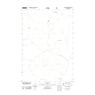
2011 Map of Shaw Mountain
USGS Topo · Published 2011About this map
Shaw Mountain and Lost Horse Mountain dominate this corner of Beaverhead County, defining a landscape etched by a complex network of drainage basins. The area is characterized by high meadows and named prairies, such as Alder Creek Meadows in the north and Jerked Prairie in the south. Unlike more developed regions, human presence is represented here by remote outposts and clearings like Kelley Cabin and Bible Camp Park. The hydrology is particularly intricate, with Stone Creek feeding the Stone Lakes and numerous other tributaries like Demijohn Creek, Whiskey Creek, and Dicks Creek carving through the terrain. This map reveals the survival of traditional land-use names in the Montana backcountry, where large open spaces like Fox Park remain central to the geography.
Find a feature on this map
27 named features on this map. Tap any name to fly to it.
Don’t see what you’re looking for? This feature index may not catch every label — zoom into the map to look around manually.
Map Details
Editions of this 2011 Shaw Mountain Map
This is the sole edition of this map. No revisions or reprints were ever made.
Other maps of this area

1955 · Dillon
USGS Topo · 1:250,000

1957 · Dillon
USGS Topo · 1:250,000

1958 · Dillon
USGS Topo · 1:250,000

1962 · Dillon
USGS Topo · 1:250,000

1962 · Pine Hill
USGS Topo · 1:24,000
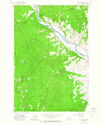
1962 · Dickie Hills
USGS Topo · 1:24,000

1962 · Stewart Mountain
USGS Topo · 1:24,000
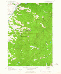
1962 · Foolhen Mountain
USGS Topo · 1:24,000

1962 · Proposal Rock
USGS Topo · 1:24,000

1965 · Dillon
USGS Topo · 1:250,000