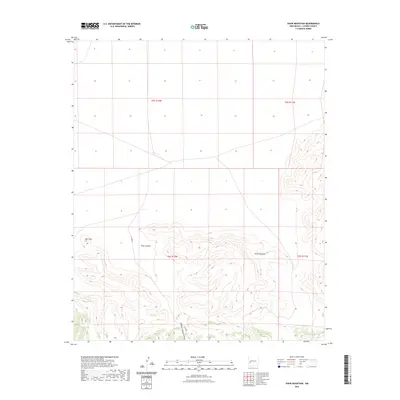
2023 Map of Shaw Mountain
USGS Topo · Published 2023About this map
Shaw Mountain and Eds Peak anchor the southern half of this Catron County landscape, where deep drainages have carved complex topography into the high terrain. The northern portion of the quadrangle transitions into a more open, grid-like division of public lands, characteristic of the township and range system defined by the U.S. Geological Survey in modern inventories. Water, though scarce, has shaped the naming of the land, seen in the deep corridors of Shaw Canyon, Fullerton Spring Canyon, and the distinctively shaped Y Canyon. This survey captures the region's character as an expansive area of high-elevation relief, where few permanent structures exist and the primary identifiers are the prominent geological formations and the seasonal watercourses that drain the slopes.
Find a feature on this map
9 named features on this map. Tap any name to fly to it.
Don’t see what you’re looking for? This feature index may not catch every label — zoom into the map to look around manually.
Map Details
Editions of this 2023 Shaw Mountain Map
This is the sole edition of this map. No revisions or reprints were ever made.
Other maps of this area

1918 · Pelona
USGS Topo · 1:125,000

1954 · Tularosa
USGS Topo · 1:250,000

1954 · Clifton
USGS Topo · 1:250,000

1957 · Clifton
USGS Topo · 1:250,000

1958 · Clifton
USGS Topo · 1:250,000

1958 · Tularosa
USGS Topo · 1:250,000

1962 · Clifton
USGS Topo · 1:250,000

1979 · San Mateo Mountains
USGS Topo · 1:100,000

1981 · Fullerton
USGS Topo · 1:24,000
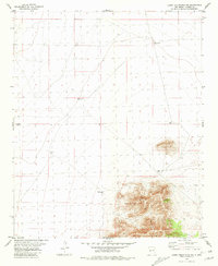
1981 · Luera Mountains NW
USGS Topo · 1:24,000